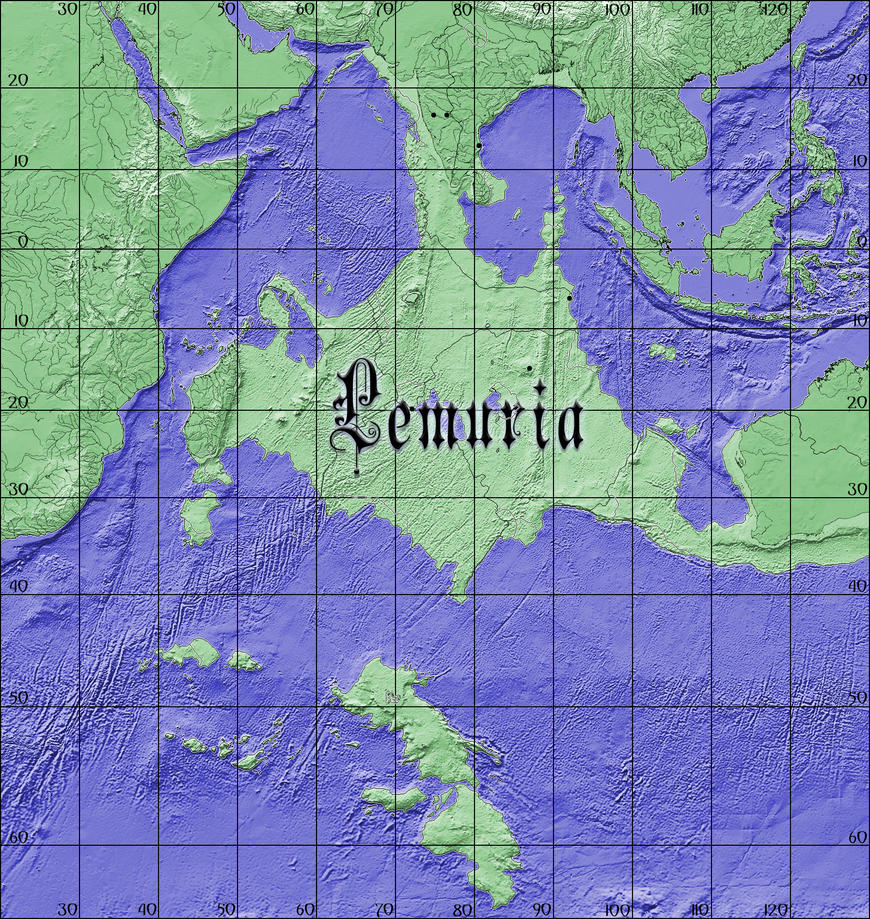
Does anyone have a blank map of the Near East, specifically Persia+Central Asia+Arabia+Anatolia and the Levant+ at least part India too?
You are using an out of date browser. It may not display this or other websites correctly.
You should upgrade or use an alternative browser.
You should upgrade or use an alternative browser.
A Blank Map Thread
- Thread starter Matt
- Start date
These estimates are way conservative.
They ignore the tipping point that could accelerate the melting of the ice caps of Greenland and Antarctica. Several things could suddenly happen- the oceans warm enough that the dissolved methane bubble out and/or the arboreal forests warm and the methane bubbles out of the previously frozen ground.
I'm not sure we should so casually dismiss the literally-Nobel Prize-winning research representing the consensus of worldwide climate scientists.
Chapter 12 of AR5 (page 1115) shows that Ice Sheet Collapse is "exceptionally unlikely" and clathrate methane release is "very unlikely". Page 1116 shows that arctic forest methane release is possible (with low confidence) but would take "time scales of hundreds to thousands of years in a warming climate" to release that methane. Indeed, many models already include arctic methane release and show very minimal effect over the next 100 years.
We are all free to believe whatever we want to about climate change, but denying the work of the Intergovernmental Panel on Climate Change may fit better into ASB threads.
I'm not sure we should so casually dismiss the literally-Nobel Prize-winning research representing the consensus of worldwide climate scientists.
Chapter 12 of AR5 (page 1115) shows that Ice Sheet Collapse is "exceptionally unlikely" and clathrate methane release is "very unlikely".
Yeah, I had ended up reading the Chapter more thoroughly after I had posted that comment. Should've had done things vice versa, because I'm pretty sure the report even mentioned the research paper I had read.
Used GProjector and this map:
View attachment 328405
to make this flooded Earth map:
View attachment 328406
A borderless version:
View attachment 328410
If imported into GProjector, the bottom map will form a seamless globe.
How did you make this into World A so easily? That's very cool!
How did you make this into World A so easily? That's very cool!
It's not really a standard AH basemap, since it is a true Robinson. As for how, GProjector is pretty simple to figure out, and lets you transform equal area maps this way.
I recall there being a base map of the Americas in 1803. I know it is in this thread somewhere, but I do not want to go though 263 pages in order to find it. Can someone either sent it to me, or post it here?
Yup, here you go;

Not my own work, but then again, I can't for the life of me remember where I found it or who made it.
Not my own work, but then again, I can't for the life of me remember where I found it or who made it.
Thanks!Yup, here you go;
View attachment 334087
Not my own work, but then again, I can't for the life of me remember where I found it or who made it.

If someone could make a Q-BAM of this (Earth 600 million years ago) for my setting, I'd be very happy.
(Image)
If someone could make a Q-BAM of this (Earth 600 million years ago) for my setting, I'd be very happy.

That's also 120 million years ago and not 600 million. Granted it's not QBAM but for continental drift, Mollweide projection is better.
Firstly, that is NOT 600 mya, not even close.
That is a Cretaceous paleogeographic map, so 100 mya at best; not even close.
Secondly,asking someone to make an entire QBAM sized world map, from scratch, is a massive undertaking. You'd need a group of people to do it, and it'd still take months.
EDIT; Damn it, someone got there before me.
That is a Cretaceous paleogeographic map, so 100 mya at best; not even close.
Secondly,asking someone to make an entire QBAM sized world map, from scratch, is a massive undertaking. You'd need a group of people to do it, and it'd still take months.
EDIT; Damn it, someone got there before me.
Thanks.
That's also 120 million years ago and not 600 million. Granted it's not QBAM but for continental drift, Mollweide projection is better.
I'm sorry, I didn't know either of these things.Firstly, that is NOT 600 mya, not even close.
That is a Cretaceous paleogeographic map, so 100 mya at best; not even close.
Secondly,asking someone to make an entire QBAM sized world map, from scratch, is a massive undertaking. You'd need a group of people to do it, and it'd still take months.
EDIT; Damn it, someone got there before me.
Here's a giant equirectangular world map I made, all hand-drawn that distinguishes between reservoirs (recently formed bodies of water are colored the same even if they're not reservoirs), salt pans, and natural lakes. It's in 1:2 8K resolution, large enough to show lots of detail but not too large to be unuseable.
I call it... E-BAM!
This will become the basemap for at least 2 of my future videos.

I call it... E-BAM!
This will become the basemap for at least 2 of my future videos.

Last edited:
Share:
