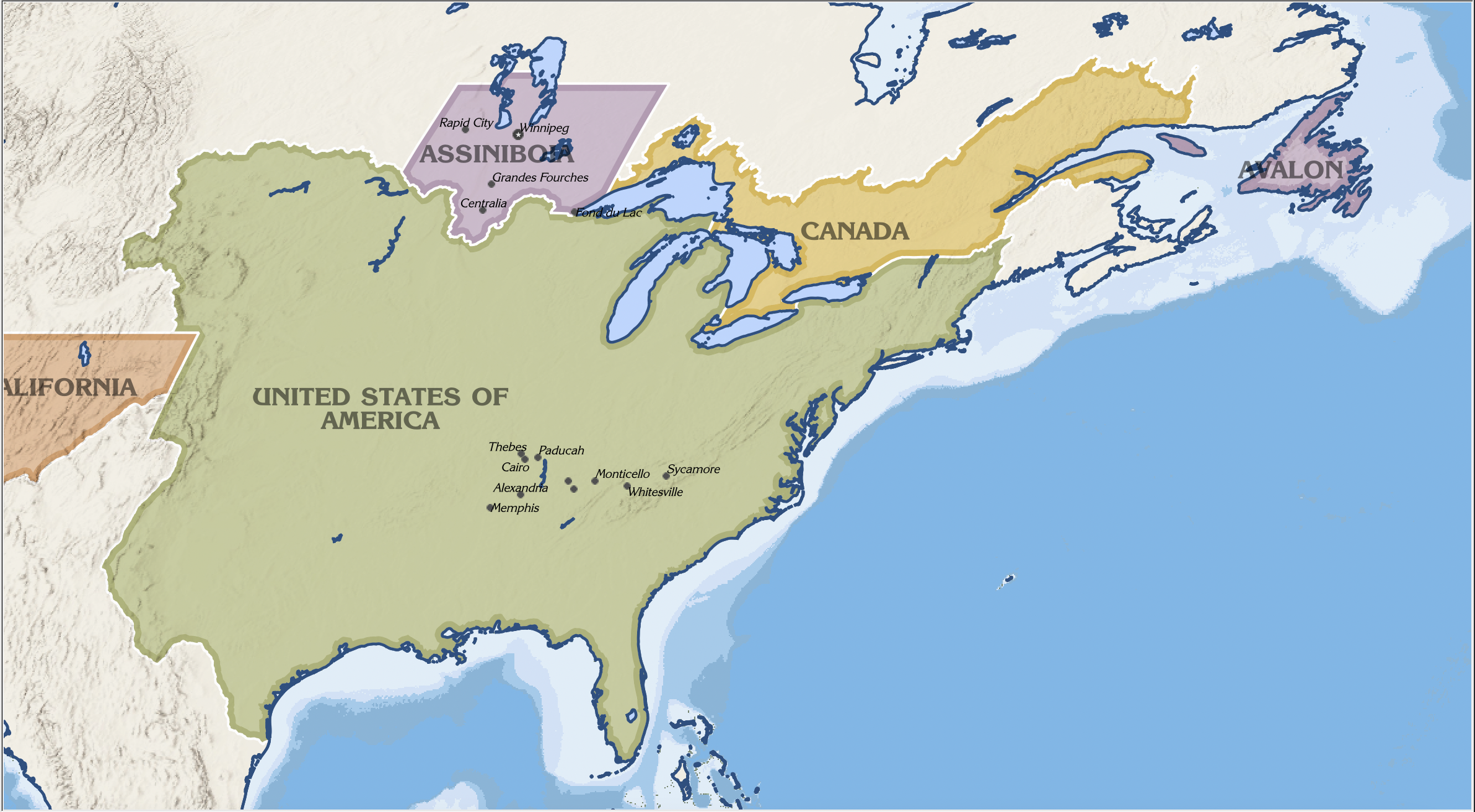
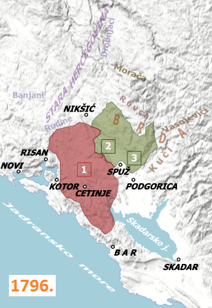
Fair, its a tiny blob on most maps and is thus rarely clearly depicted even in historical sources, especially since the territories of the various clans that came under the Prince-Bishop's rule are far from clearly defined.
This first one is fairly accurate, very detailed, and is the one I prefer, but the second one shows you just how unclear territory was (the green blob on it corresponds to the area labelled 1796 on the first map and you can see they're quite different in terms of things like how close they get to Nikšić.
Yep, I saw the date.
No problem, happy to help.
Things I want to mention:
- At this point the green/1796 area is kind of a distinct political unit within Montenegro, called the Hills or Highlands. It wasn't necessarily an administrative division but there was a distinction between the Old Montenegrins and the Highlanders and the state formally changed its name to The Metropolitanate of Montenegro and the Highlands after integrating it so it is a notable distinction at least for a time
- If you have various PODs in the mid 1700s, you could do something with Li'l Steve if you are so inclined. Certainly among the most interesting things going on in Montenegro at the time. Beyond him, there were various schemes floating around about staging a war for Serbian liberation out of Montenegro with Russian support, and an a balancing act between Russian and Venetian influence and lots can happen with the noble family who served as Venice's representatives (Guvernaduri), the Radonjići who would be a problem for later rulers of Montenegro.