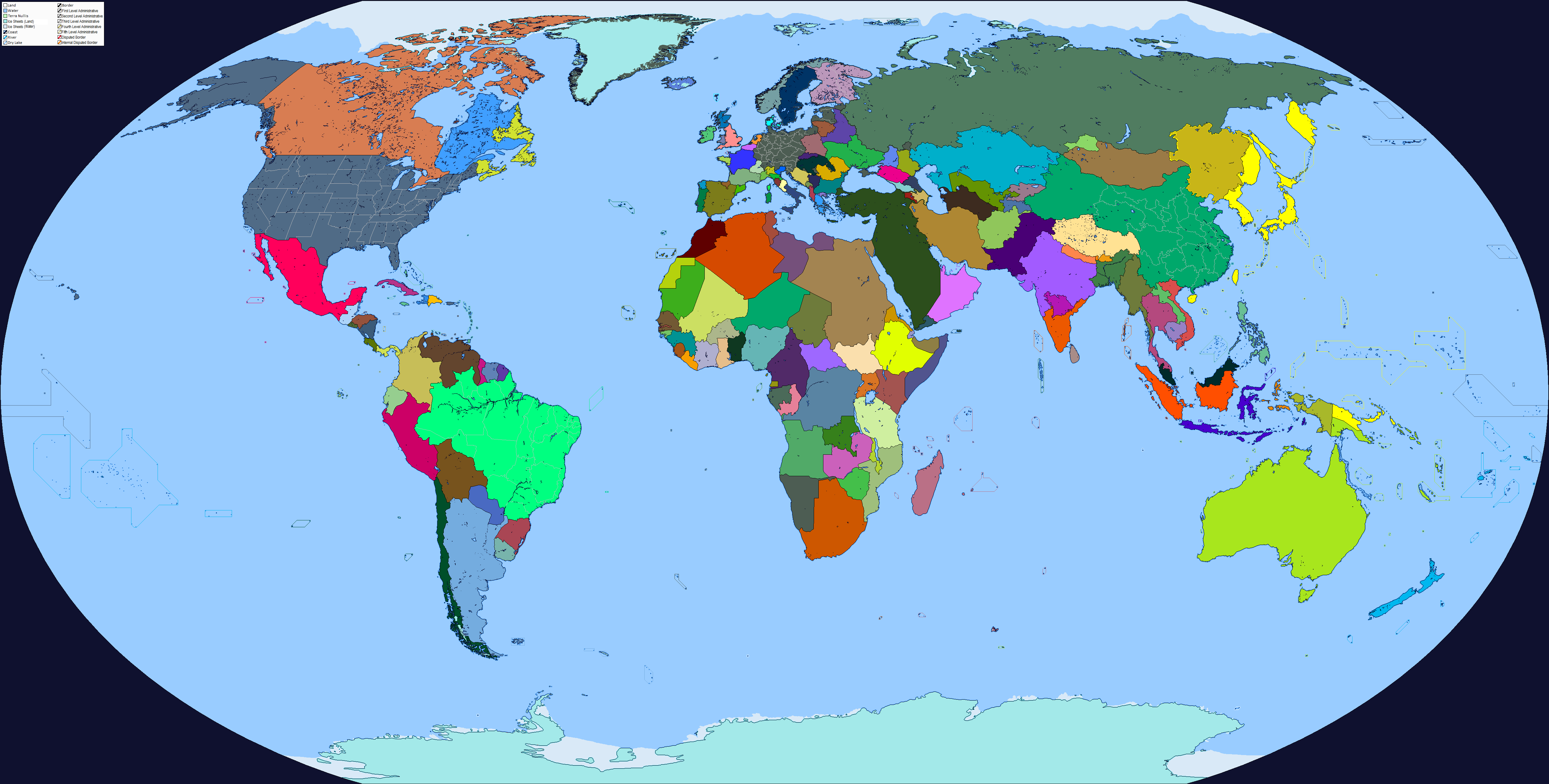
Okay, so I don't think I'll ever tire of making Decades of Darkness Maps.
And we're glad for it!

For those who aren't well informed on the TL and may be confused, the rest of Mexico and Oklahoma are territories at this point.
Okay, so I don't think I'll ever tire of making Decades of Darkness Maps.
Coming from you, that's quite the honor sir. Thank you very much. I have more projects concerning this TL planned, and they're big ones.And we're glad for it!
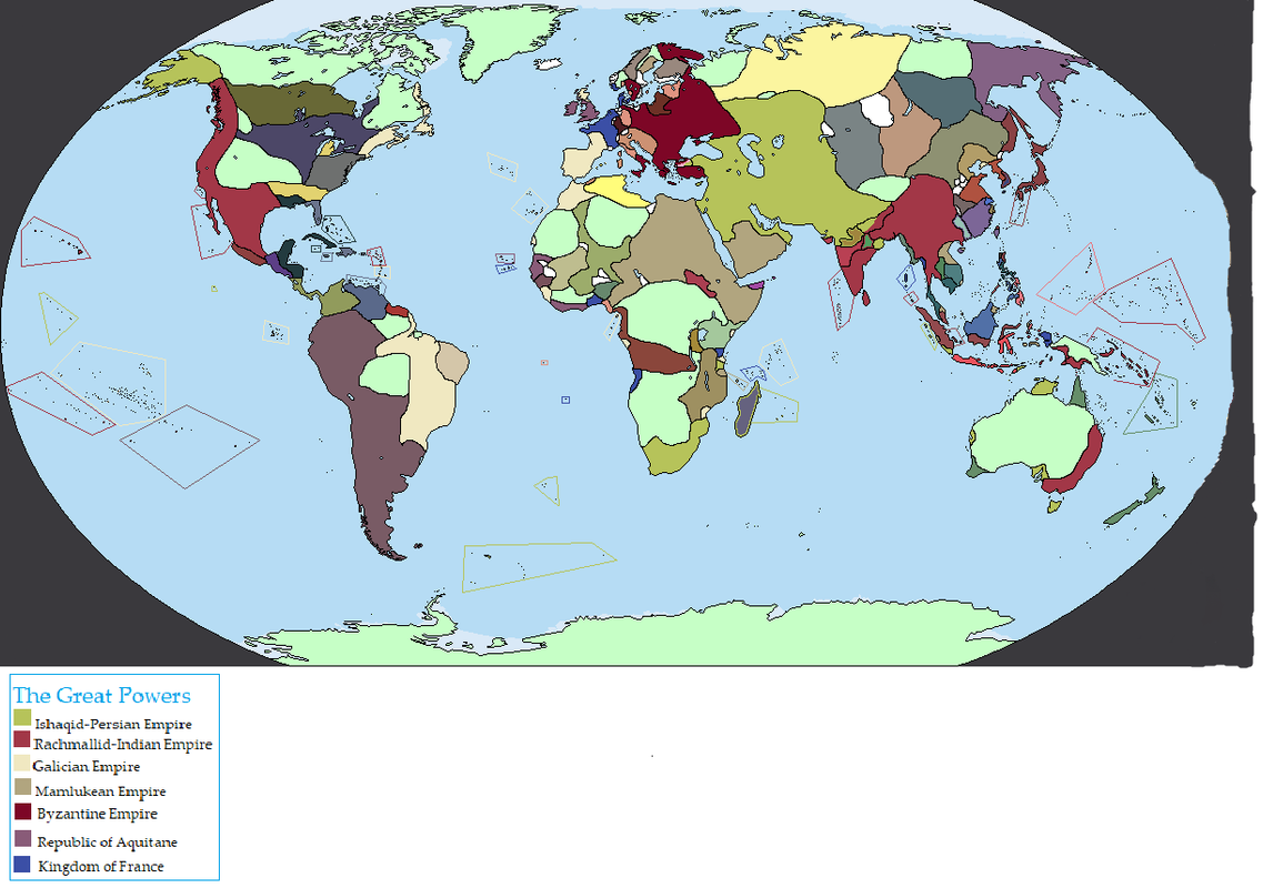
Objection!Under the Eagle: Another completely unoriginal and tiring Kaiserwank. These are so common that can't barely be considered proper AH maps, but felt like giving it a try. Not much lore, Germany wins WW1 and then WW2.
Except Japan won against Germany in WW1 and then fought for the Germans during WW2.Iif Germany really won WW1 and then WW2
Under the Eagle: Another completely unoriginal and tiring Kaiserwank. These are so common that can't barely be considered proper AH maps,
Invaded by France and Italy during WW2 and then reconquered by Germany. It's existance was deemed unnecesary for the greatest goal of achieving complete German unification.Also, what happened to Switzerland?
Peru is native, NW America has Asian colonies. I guess I'll push filling this in a bit further up my queue, but I'm really a bit unsure about what to do with N/NE Asia and Central/Eastern Europe.
Hardly as though they would have any way to take it back. Them possessing Namibia, including Wallis Bay, is bizarre enough. They weren't exactly in a position to take it back, and the British wouldn't want to upset the South Africans by taking what they saw as their colony and conquest away. Them annexing areas filled with Africans the Boers had been unable to conquere doesn't quite compensate. I dunno,Objection!
Iif Germany really won WW1 and then WW2, I would imagine the Tsingtau/Kiautschou Bay to be a relevant thing as well (comparable to Hong Kong), so it either would be still part of the Empire, or have a subdivision like hong kong and macau do
I feel England would be a sword of dog and tail sort of thing. Also, any specific time period you are thinking for the switch? looking it over, at the point in time shown on the map the Normans and whoever they married into also had the Bordeaux. I think you should have Brittany stay an independent kingdom, perhaps being a way someone can call themselves kings, even if it is not the main part of the realm, outside of the profits to be made. Ahhh, and you going to have it that France keeps their monarchy elective?Here's a quick snippet of a map I've been working on. The premise is that France and the HRE switch places, and I'm trying to build a world around that. The map shows the situation around roughly 1000-1100. Suggestions are welcome, since besides France/Germany/England I'm pretty stuck on what realms could be around.
Stylistically,I'm more than happy about how it's turning out. I would like to expand the heraldry a bit more but unforeseen circumstances have made me put those plans on hold for the moment.
View attachment 460615
I have some pointersThis is my first map ever, its based off a ck2-Eu4 conversion game I've been playing for a year and now I'm just waiting for the EU4-Vic2 converter to be updated.
Work in Progress obviously and any thoughts about it are welcomed.
What is the story behind North Cyprus here? And would the Repulic of Ireland really claim Northern Ireland at this point in time?Alternate Cold War Current year 1989
I didn't touch either of those one but the former it's the result of the Turkish invasion in 1974 and the founding of the Turkish republic of northern Cyprus in 1983. Ireland did claim North at that time.What is the story behind North Cyprus here? And would the Repulic of Ireland really claim Northern Ireland at this point in time?