You are using an out of date browser. It may not display this or other websites correctly.
You should upgrade or use an alternative browser.
You should upgrade or use an alternative browser.
WIP Map Thread
- Thread starter B-29_Bomber
- Start date
-
- Tags
- work in progress
Gian
Banned
You have my vote!
Also, is this hinting at an historical Arthur?
Like the linguistics map it was based on, this is more my version of "rule of cool" than anything else.
Good deal of progress tonight. It still needs some tweaks, but I'm getting pretty close to being able to create the legend and write-up.

Might incorporate Manchuria, but Korea would probably just be a puppet - at least at first.Edit: For a scenario where Russia won against Japan, do you think they would directly incorporate Manchuria and/or Korea or would they set up a puppet in the area?


I see you got Generic-seret.
William Walker eternally screams from the grave...
")
Do you think Manchuria would be incoporated as a series of provinces or as a territory?Might incorporate Manchuria, but Korea would probably just be a puppet - at least at first.
Deleted member 108228
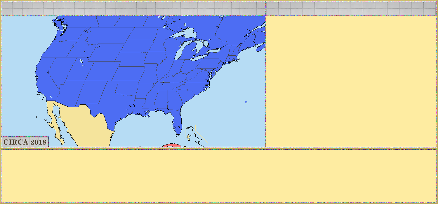
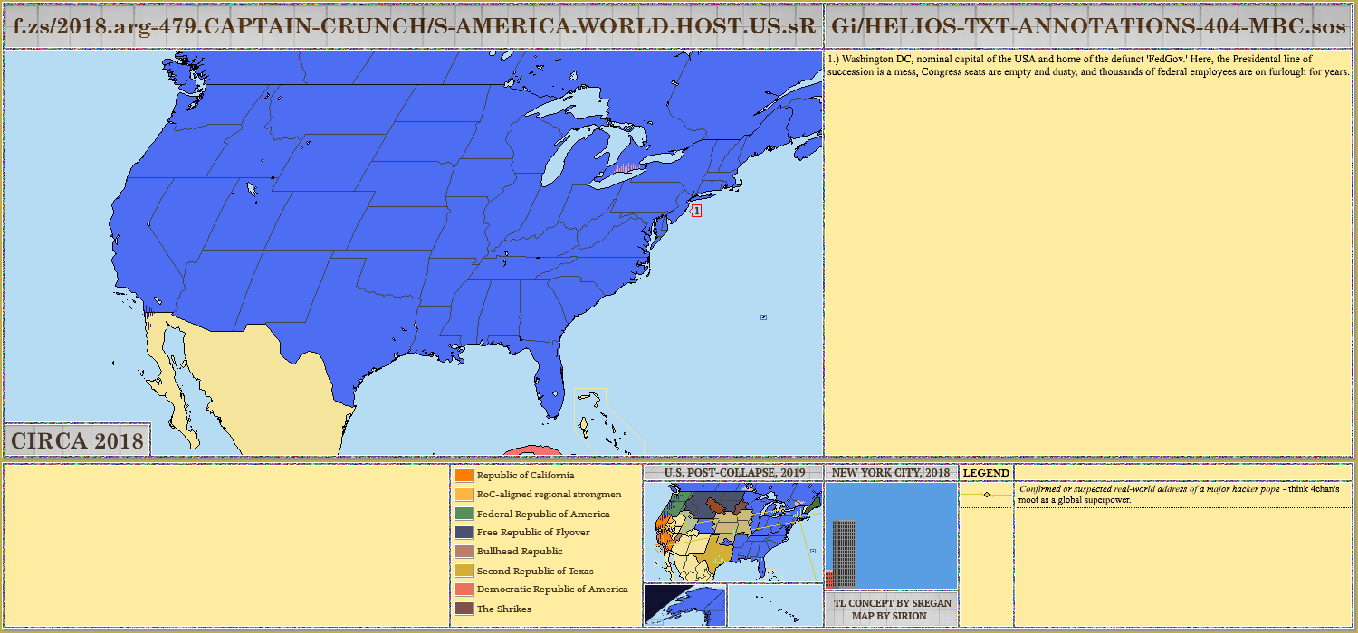
Originally an old fan-project by Izayoi_Alpha revolving about a post-American world.
His Freedom and Democracy: Gone
I want to say... something something Stephen Universe?I'm gonna be upfront. How do you make rebel groups in the South African State?
Can you also guess what the map is about?
View attachment 386452
Deleted member 108228
I want to say... something something Stephen Universe?
Specify
Depends on how they take it and the circumstances. If they're taking the entire place in one treaty then they're much more likely to have it all in one administrative group than they are if they're taking it piecemeal. Regardless, I don't imagine it would be broken up into more than three provinces, if even that many. On the other hand, I imagine they might alter teh borders even if it is one administrative unit - maybe cut bits of it off and attach them to the 'Green Ukraine' province (whatever that was called).Do you think Manchuria would be incoporated as a series of provinces or as a territory?
Still a WiP, but I'm asking for some assistance here...
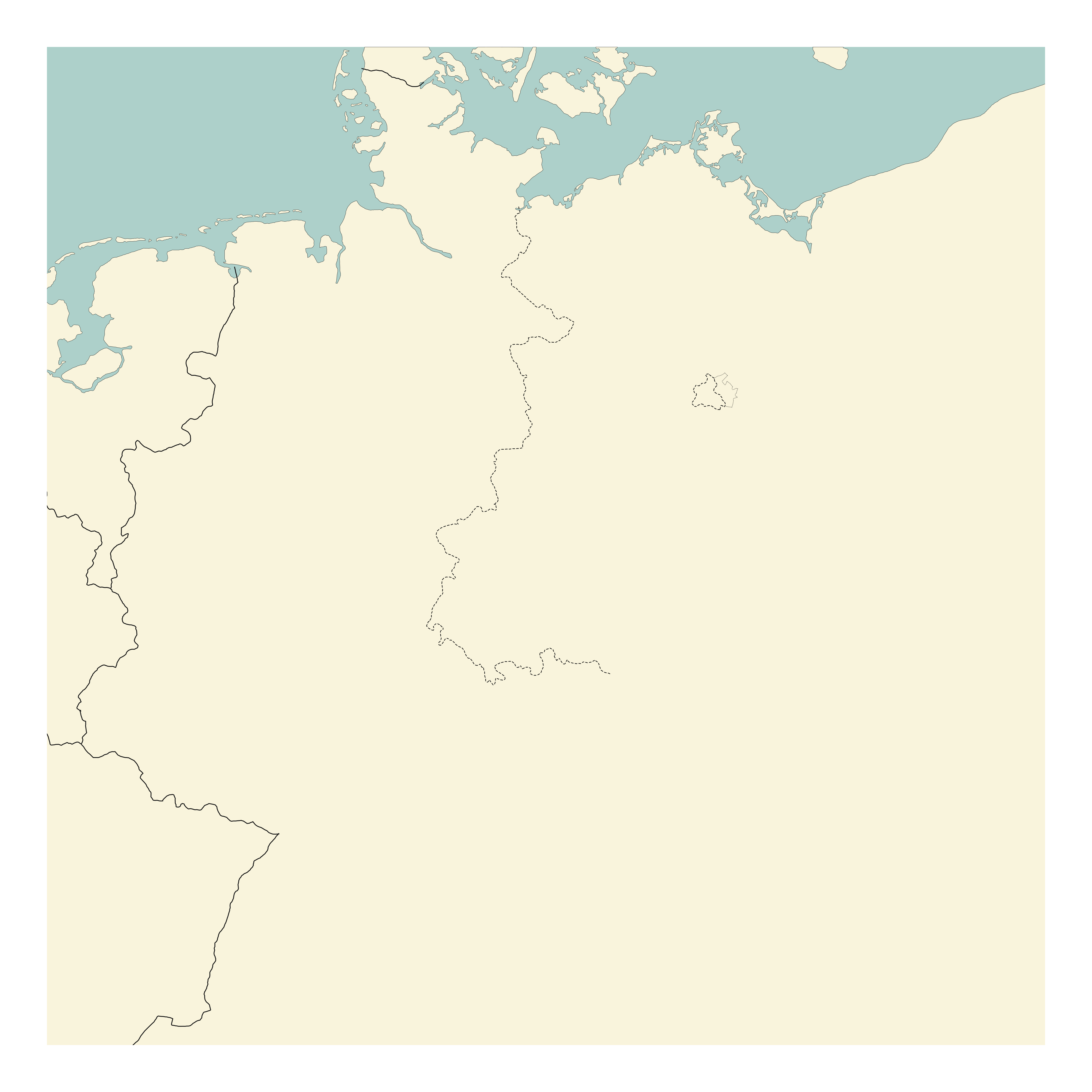
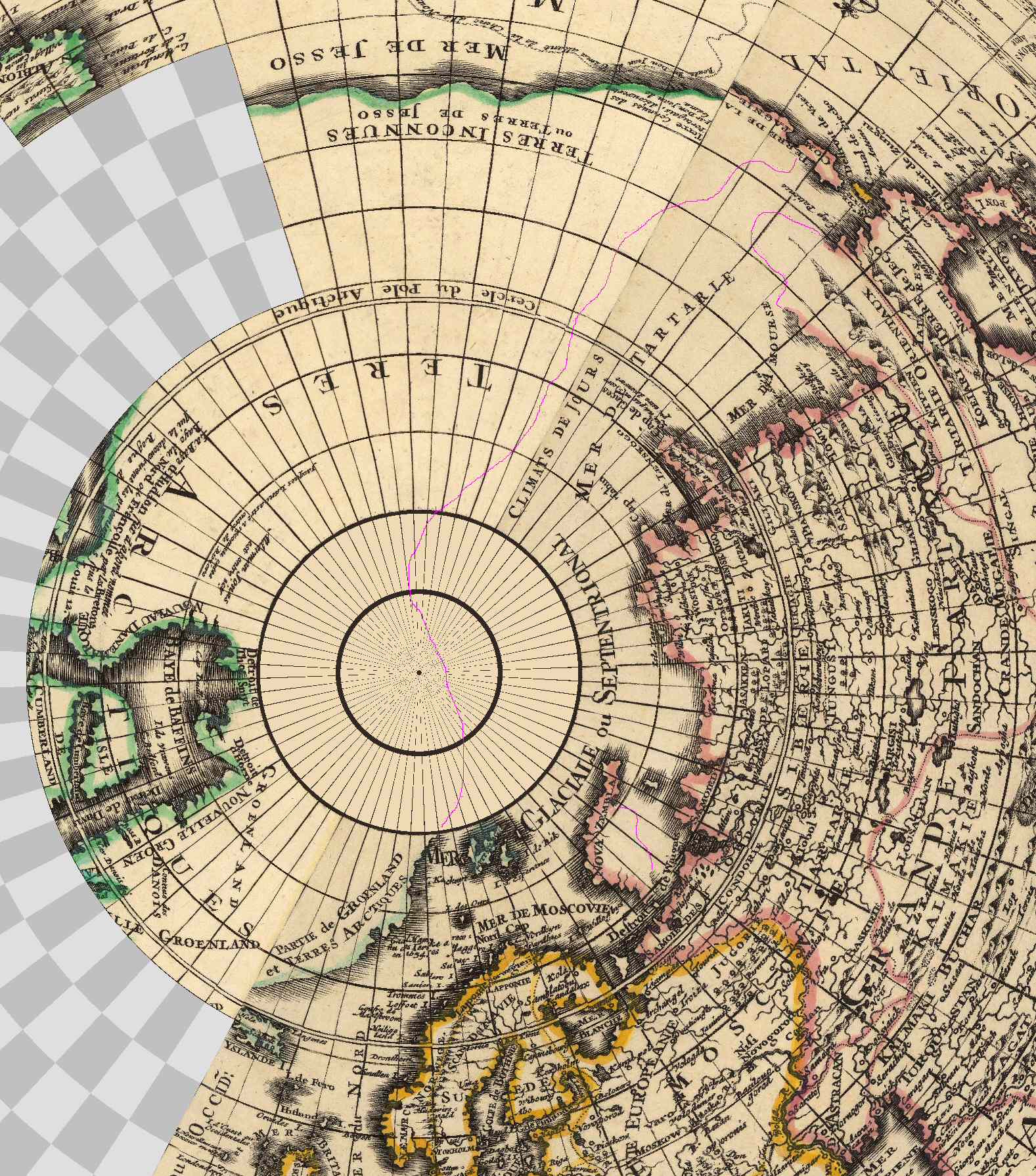
This image is an orthogonal polar projection of what I have so far. Beyond the 80° north line, the source map has no terrain detail (just a text label for north pole), so I blanked it. I've added (in magenta) an eyeball estimate of where I think the speculative coastline would be. This is based on the assumption that anywhere with a text label that refers to land is actually land, and anywhere with a text label that refers to water is actually water, and that the coastline (the magenta line) is the midpoint between these "known" locations.
Based on those rules, does the magenta coastline look to be in the right position?
Deleted member 105545
Still a WiP, but I'm asking for some assistance here...
This image is an orthogonal polar projection of what I have so far. Beyond the 80° north line, the source map has no terrain detail (just a text label for north pole), so I blanked it. I've added (in magenta) an eyeball estimate of where I think the speculative coastline would be. This is based on the assumption that anywhere with a text label that refers to land is actually land, and anywhere with a text label that refers to water is actually water, and that the coastline (the magenta line) is the midpoint between these "known" locations.
Based on those rules, does the magenta coastline look to be in the right position?
Looks about right
Share: