Fantasy and Alien Blank Basemaps Thread

Thande

Donor
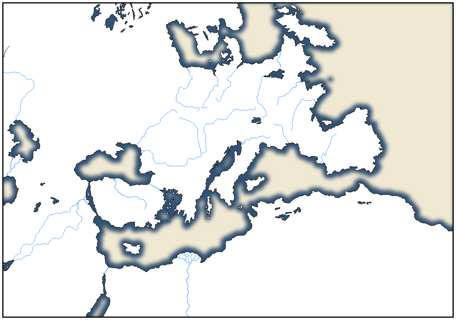
I daresay all the whizbang technoheads who understand the voodoo mysteries of Photoshop already knew this, but it occurred to me that you can use a programme like Paint.net which allows multiple layers to trace complex fantasy maps with the good old wiggly river between the pointy mountains and produce a simpler blank map you can edit.

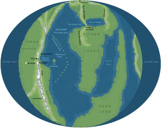
Anyway, thought a thread like this would be good for ASB scenarios taking place on established fantasy and alien worlds. My first attempt follows in the next post.
 

Thande

Donor
For a first try I think we must go back to Mr Turtledove. Videssos ahoy!

Below is the original map I traced for comparison.

videssos.jpg


And here is my rendition:

Videssos 7.png
 

Thande

Donor
63 views and no replies...huh.

Anyway, here's the Darkness world (Derlavai and the other continents). I didn't bother with rivers and mountains this time, though I can add them if necessary, but instead put on political borders and added the UCS colours for the corresponding OTL countries.

Darkness 5.png
 
63 views and no replies...huh.

Anyway, here's the Darkness world (Derlavai and the other continents). I didn't bother with rivers and mountains this time, though I can add them if necessary, but instead put on political borders and added the UCS colours for the corresponding OTL countries.

Nice thread.
 
Here is a map I made in January, originally based on the continent of Aventuria from the German pen&paper RPG "The Dark Eye". But given due to the fact that Dere (the entire world "The Dark Eye" is set in) mostly looks ass, I went on to create to additional continents from the scratch and slightly modified Aventuria.

spacebat home.PNG
 
One thing about the Videssos map: I'm pretty sure there should be a strait connecting the Videssian Sea with the Sailors' Sea, and separating Videssos the City from Across. (Sort of an analogue of the Bosphorus.)
 

Thande

Donor
Here`s blank map I made some time ago of entire Middle Earth continent, according to MERP (old Middle Earth Role Playing game):
Aaargh, my eyes bleed! :eek:

I know people had to fill in blanks for all the years before the History of Middle-earth was released in the 1990s, but to a Tolkien nut like me, looking at that map is like watching someone claim a Ptolemaic map accurately reflects OTL :p


One thing about the Videssos map: I'm pretty sure there should be a strait connecting the Videssian Sea with the Sailors' Sea, and separating Videssos the City from Across. (Sort of an analogue of the Bosphorus.)
Yeah you're right, I realised that after I posted it - the trouble is that the basemaps I'm working from have a gap in the middle due to being scanned from books so you have to guess the borders and I forgot there was a strait there.
 
Aaargh, my eyes bleed! :eek:

I know people had to fill in blanks for all the years before the History of Middle-earth was released in the 1990s, but to a Tolkien nut like me, looking at that map is like watching someone claim a Ptolemaic map accurately reflects OTL :p

Well, it`s still best interpretation of lands beyond LOTR map that I`ve ever encountered.
 

Thande

Donor
Well, it`s still best interpretation of lands beyond LOTR map that I`ve ever encountered.

NO NO NO NO NO!!!! The part of Middle-earth represented in the books is the North-East of the Old World east of the sea! Middle-earth is supposed to be the Old World before the last Ice Age!

This is what the whole is supposed to look like, circa First Age:

arda3.gif
 

Thande

Donor
And here is most of the world during the Second Age (OK it's in Polish; the conspiracy is spreading evidently)

ArdaTR_15web.jpg
 

Thande

Donor
Anyway, resuming the thread:

Map of Westeros from A Song of Ice and Fire, showing the Seven Kingdoms.

For those not familiar with the series, this is just one continent on which the action takes place, not the whole world - but the world has not been entirely shown through maps yet.

Westeros 9.png
 
Top