Qbam Geographic Maps Thread

I think it's not being a major river, but more being the main river for a basin. For Mesopotamia and the Chao-Praya river, it's less clear on where it originates and where the exact headwaters are, so they got more than one river covering it vs the Ganges and Bhramatapura rivers, which one is clearly the main river.
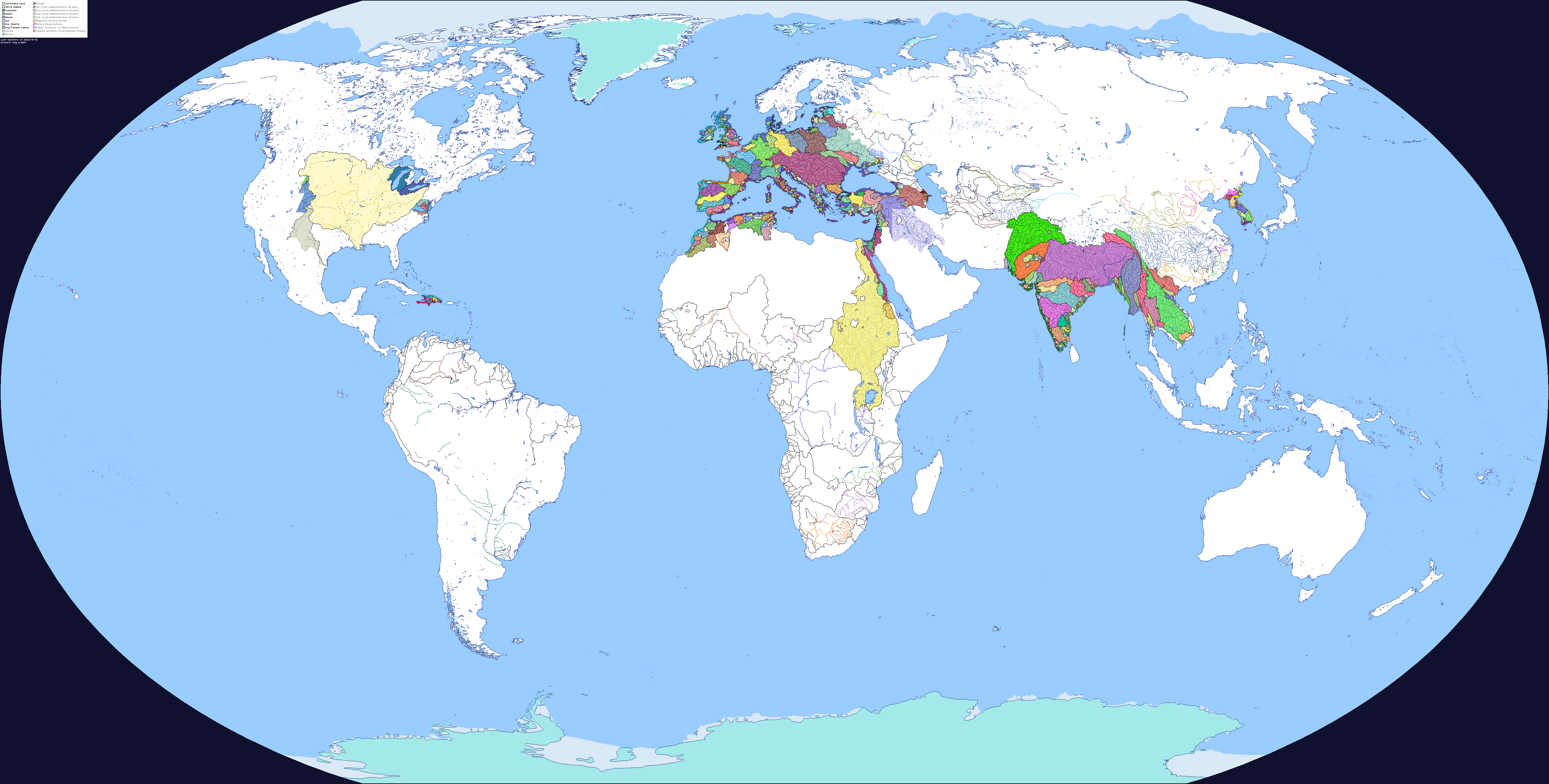
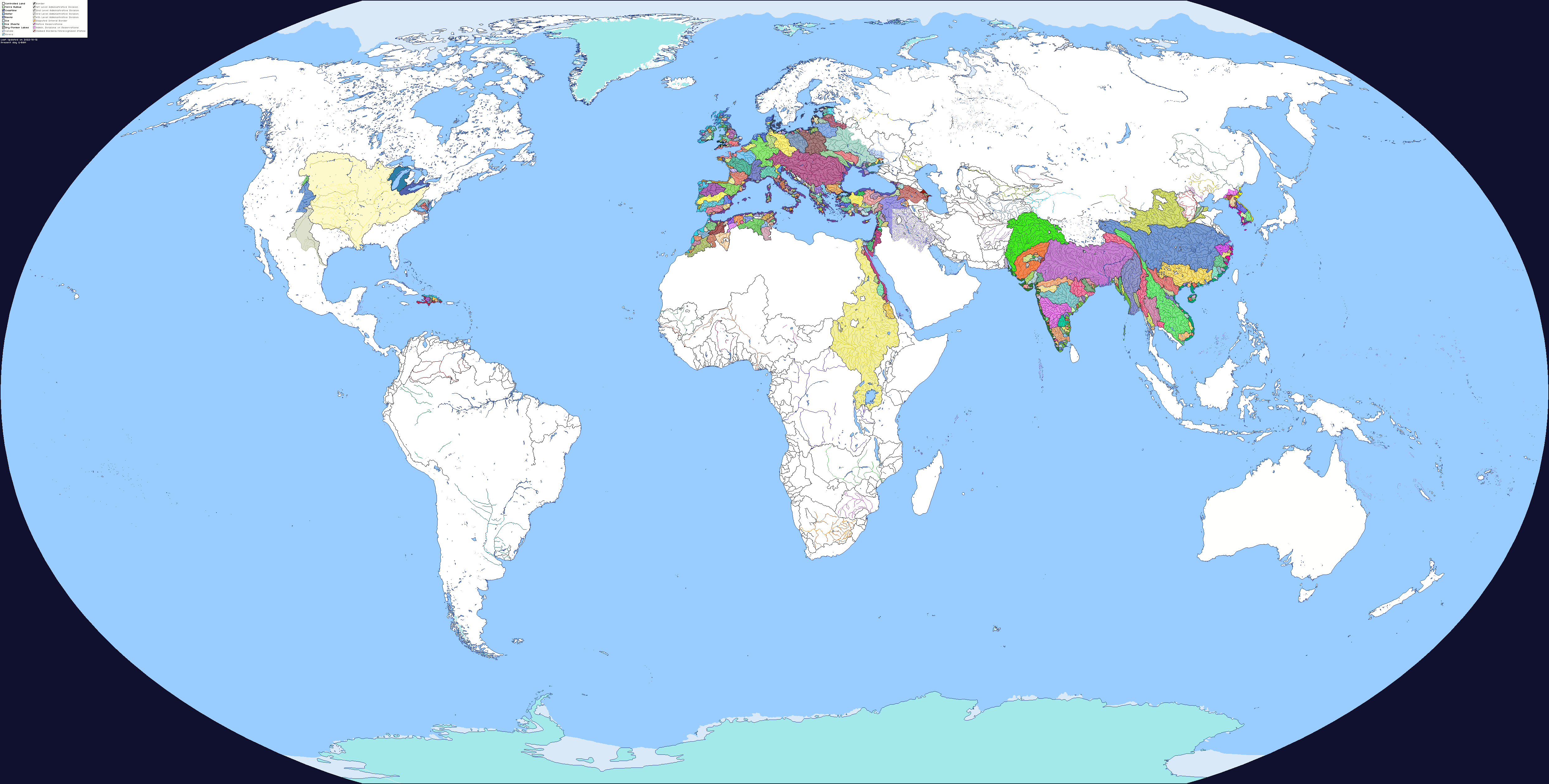
Seems the Scientific community is less certain it should be one system; " The Ganges River Basin is sometimes considered part of a larger river basin consisting of the nearby Brahmaputra and Meghna rivers. Known as the Ganges-Brahmaputra-Meghna (GBM) River Basin, it is one of the largest river systems in the world." [https://education.nationalgeographic.org/resource/ganges-river-basin]
It's described as a Transboundary River system when considered together, so both are equally valid as the main river
 
Parana River Basin.png

In your opinions', where should the Basin extended to, the red, the orange, or the green?
 
View attachment 790859
In your opinions', where should the Basin extended to, the red, the orange, or the green?
Legally, the border between the Río de la Plata and the Atlantic Ocean is a straight line between Punta Rasa in Argentina and Punta del Este in Uruguay.
Legally, it's closer to the red line, but I'd personally split off the Salado River at minimum.

On the other hand, I would personally prefer that estuaries be included in the river basin. Here's my proposal regarding the Humber and the Shannon. Grey lines are the borders between the river and the estuary. Also included is the River Hull.
1669086078840.png
 
Legally, it's closer to the red line, but I'd personally split off the Salado River at minimum.

On the other hand, I would personally prefer that estuaries be included in the river basin. Here's my proposal regarding the Humber and the Shannon. Grey lines are the borders between the river and the estuary. Also included is the River Hull.
View attachment 790937
I don't think we need to separate the estuaries from the rivers themselves. I can just add them in more or less (I honestly need to just edit them in, so thank you for that)
 
Last edited:
Another semi-minor patch. Admittedly, I'm not 100% sure if I should separate the Meuse/Maas from the Rhine, but I did it anyways since the Rhine delta is heavily canalized to begin with, and there's only one point where I can't draw a black border which, by the way, is not where the Meuse flows to the Rhine or vice versa. Colour template included.
1669227829539.png

1669227333212.png

From upstream to downstream, the five tributaries that saw use of the darker shade are:
Semois
Sambre
Ourthe
Roer
Dommel
 
Last edited:
dfiulu0-31233e5c-aa1b-45a2-80f8-8e4640673900.png

Hello everyone, it's been a while since an ultra major patch, but I think letting you guys know the progress helps out a bit every once and a while. I've worked on quite a bit, but if you couldn't already tell I've been extremely disorganized in what I'm doing at a given time. I've definitely been trying to do to much all at once while also dealing with my job, school, and doing other things I like to do, so I have just been trying to cram as much in as I can. I am satisfied with it though, and I really can only go forward so I'll try to narrow my focus a bit. So for that, I've decided to finish up China first and go from there. There are also other minor things I need to add in so I'll also do that as well
 
View attachment 790859
In your opinions', where should the Basin extended to, the red, the orange, or the green?
The International Hydrographic Organization considers the red line as the Río de la Plata border, according multiple criteria, for example that there is continuous flow of freshwater up to that line, or that only from the red line onwards, the waters get the average salinity of oceans. So that red line would be where the Atlantic propperly begins.
 
The International Hydrographic Organization considers the red line as the Río de la Plata border, according multiple criteria, for example that there is continuous flow of freshwater up to that line, or that only from the red line onwards, the waters get the average salinity of oceans. So that red line would be where the Atlantic propperly begins.
Therefore, my suggestion:
Hard black border at the red line, but also use first level subdivision borders and distinct colours for rivers beyond the green line to show that from that point onwards it's considered an external coastline.
 
I'm gonna nitpick here, but if you use the same colour for rivers that drain into the Hangzhou Bay as the Qiantang River basin and not part of a general East China Sea basin, then shouldn't most of Hong Kong be also included in the Pearl River basin, instead of being part of a general South China Sea drainage area?
 
I'm gonna nitpick here, but if you use the same colour for rivers that drain into the Hangzhou Bay as the Qiantang River basin and not part of a general East China Sea basin, then shouldn't most of Hong Kong be also included in the Pearl River basin, instead of being part of a general South China Sea drainage area?
Not all of Hong Kong's river basins drain into the Zhujiang River Estuary, the rest go in completely different directions
 
Ooh, I haven't opened this site in a while.
Sorry for not being active with this, thanks a lot for you guys contributing to the project. Honestly amazing to see people take part in a thing I started and making it go to places I couldn't get to alone. I don't have that much free time nowadays so I dunno if I'll be that active on here.
You all are doing an amazing job.

P.S. pssst Sharklord mind showing me what the full map looks like so far?
dfrryle-8f376978-af98-4807-ae93-134363b490a1.png

Here you go! Welcome back!
 
Top