Crazy Boris
Banned
View attachment 628196
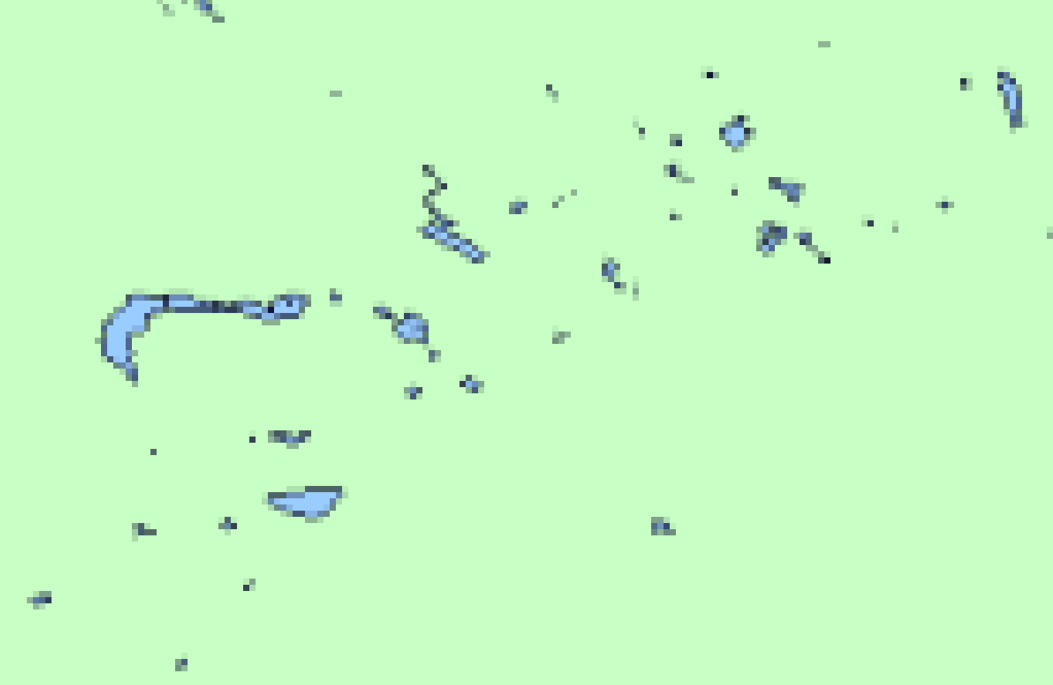
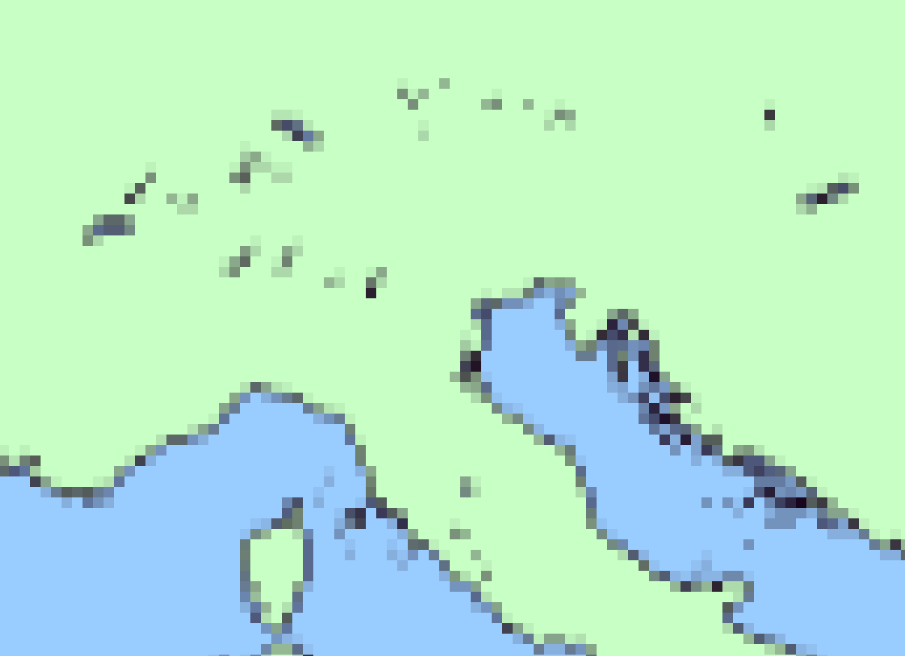
44 BC wip. (source)
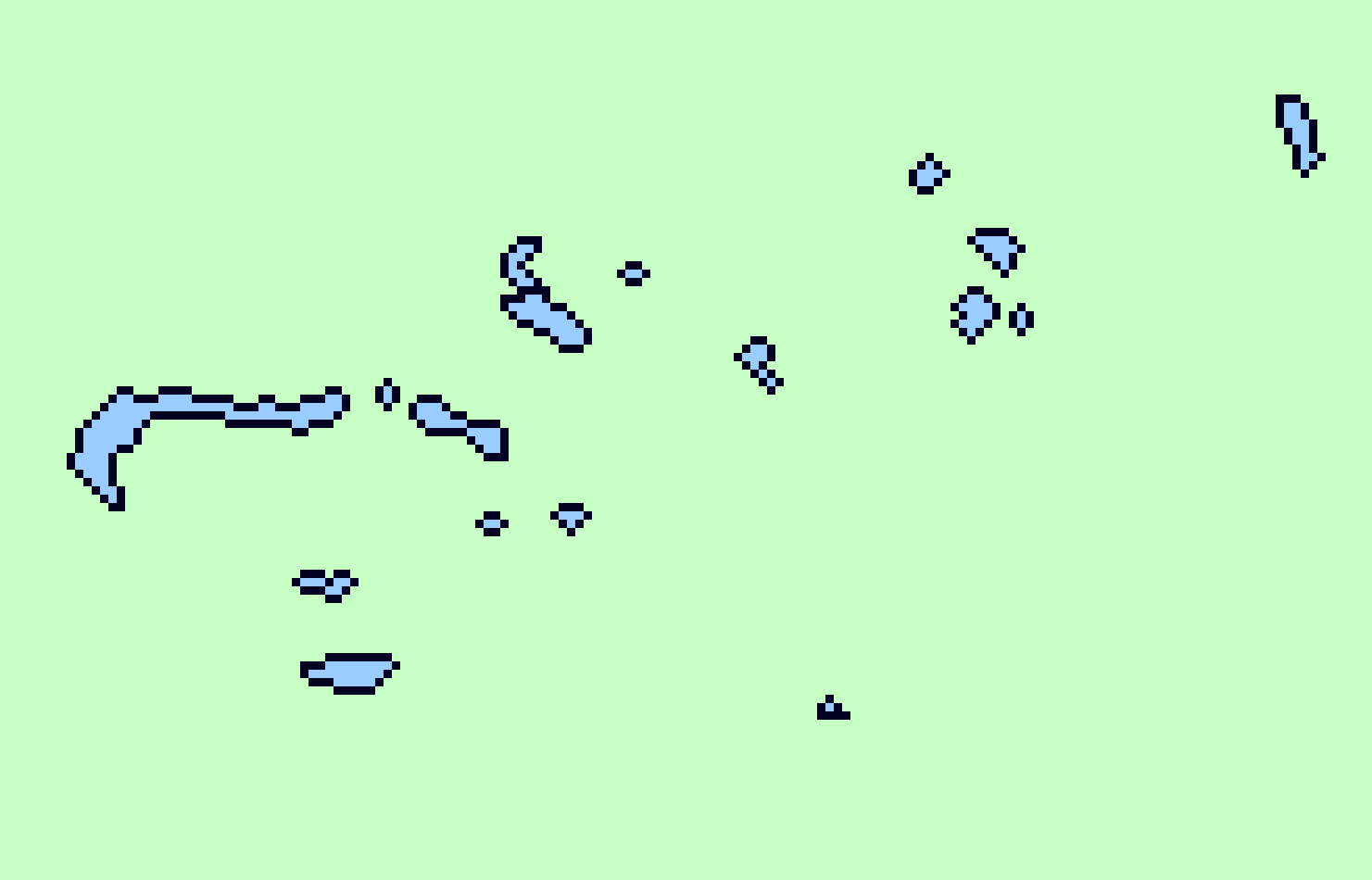
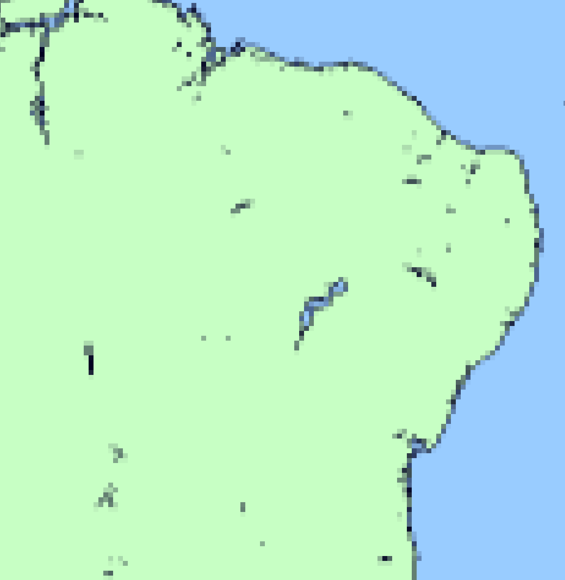
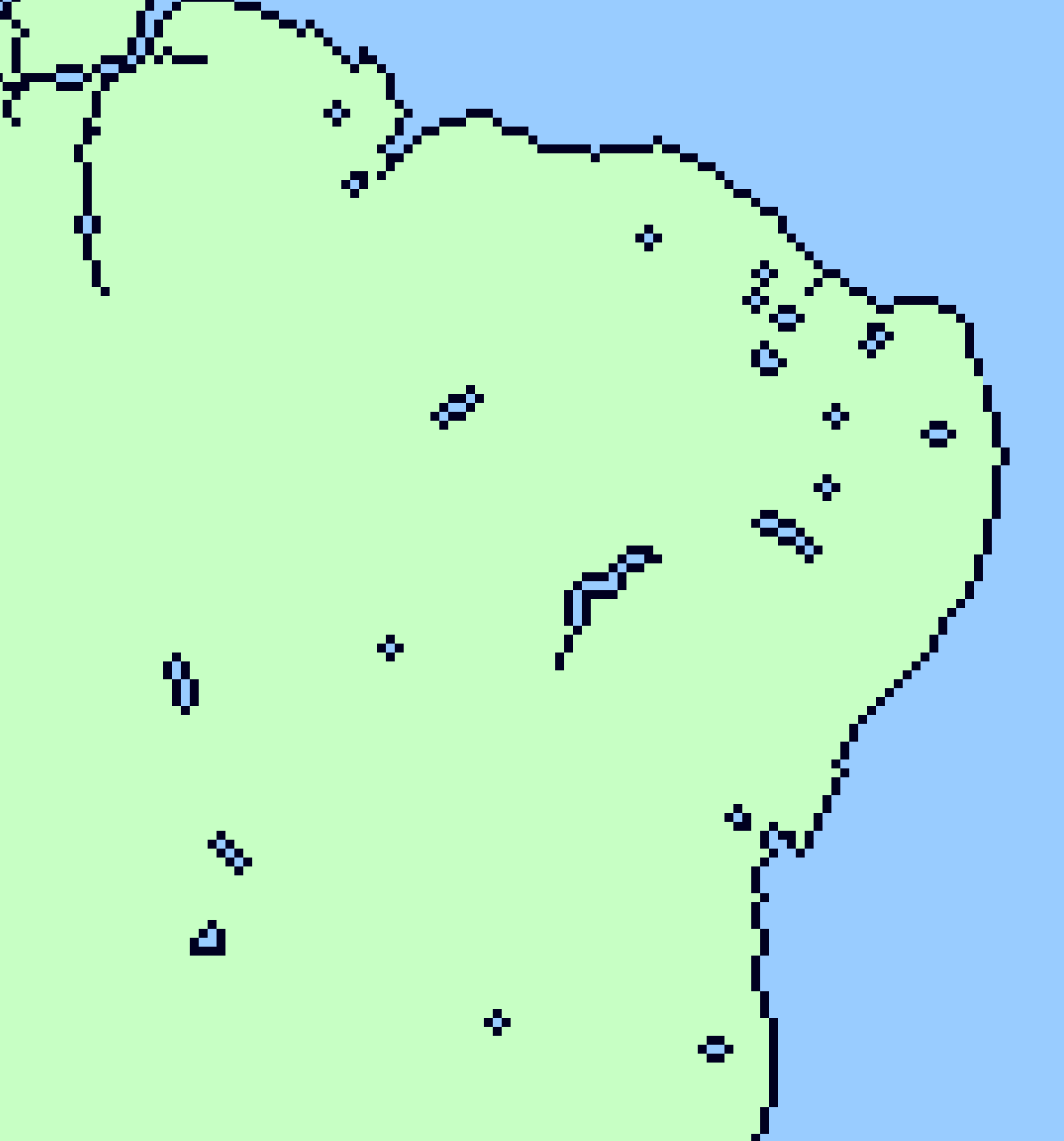
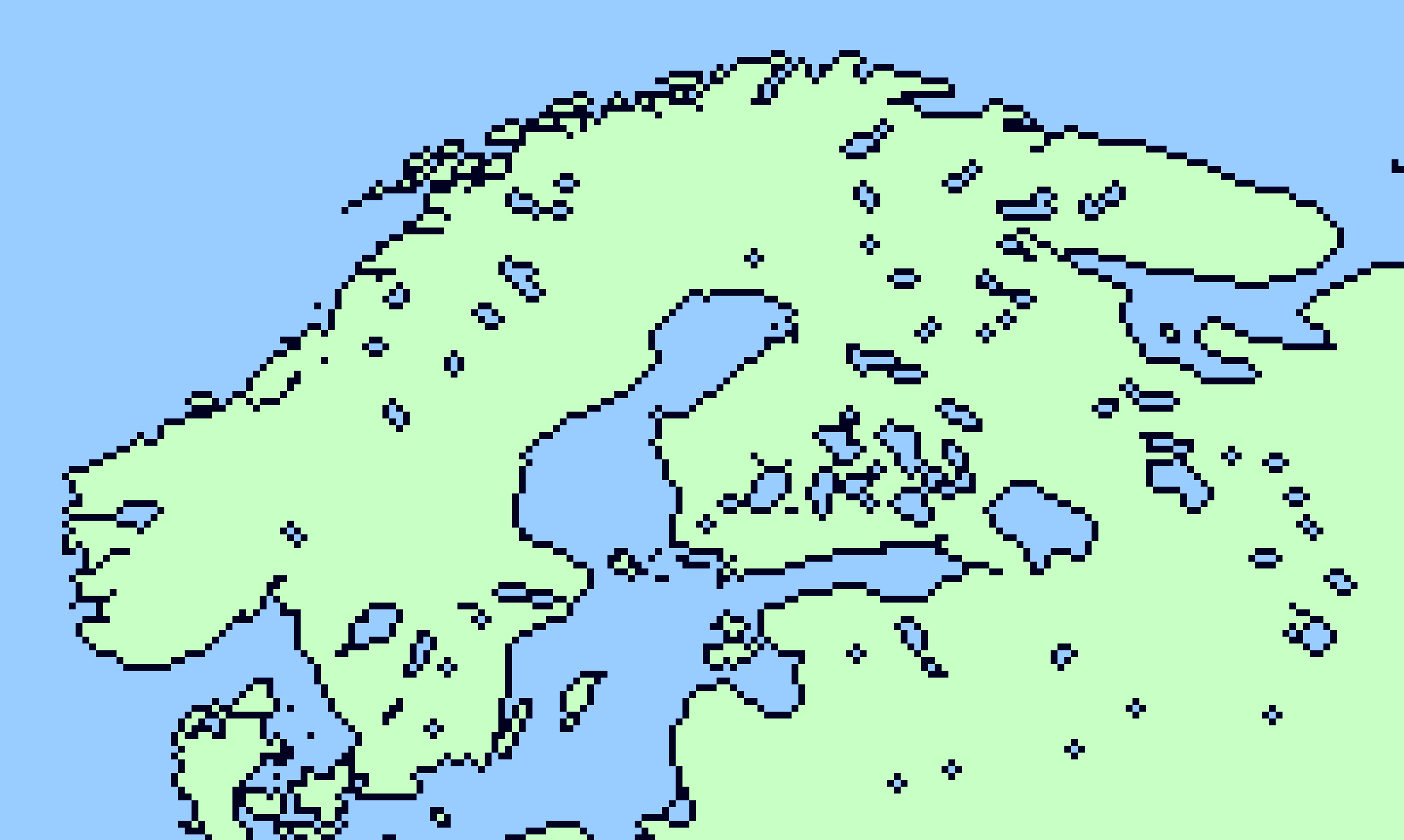
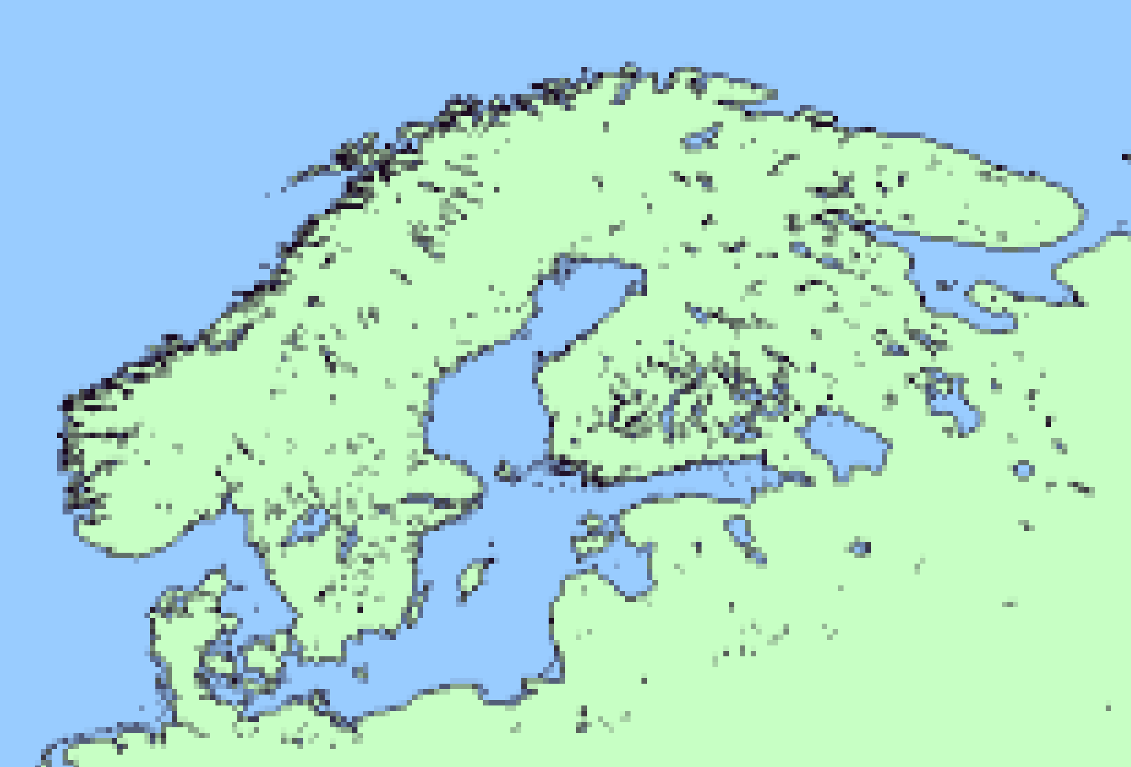
Also I'm not sure how I should display protectorates: above (0), or one of the below (1, 2, or 3)?
View attachment 628200
View attachment 628198
View attachment 628199
2 is what I prefer personally. 3 is okay but I think colouring like that is better suited for if the country in question is fully militarily occupied by Rome or Persia