Map Thread XIX

Status
Not open for further replies.
1200px-UN_Macroregion_Southern_Africa.svg.png

My take for one of my 2 TLs , with a badly made map. Africa in the late 1980s. Anyone could make it better be my guest! 🖖 ;)
  1. South Africa, with Rhodesia having joined the Union in the 1920's, is still a monarchy. Full Apartheid was never a thing thanks to the (kind of progressive) Elizabeth II. Zambia (light blue) is under HER influence
  2. Katanga , with Lumumba not couped, was able to resist thanks to some help from the USA (because no Vietnam War)
  3. The two Congos unite under Lumumba in what resembles an Eurocommunist-like socialism
  4. Failed Revolution in Zanzibar which means no genocide of Zanzibari Arabs, still a Sultanate and independent.
  5. The East African Federation actually formed.
  6. Nigeria balkanized after Biafra war
  7. Inspired by @Lusitania timeline , Portugal was more progressive, received Marshall Plan money, held her territories overseas. Light green is for countries (Casamance, Katanga, Marawi) under Lusophone influence
  8. France left Algeria more than a decade later, Morocco went to war with his neighbors afterwars and expanded. Light brown for countries under its influence
  9. The Federation of Arab Republics actually went on and hold itself together (but no Syria) and beige color is for countries under the influence of FAR
  10. After a war against Somalia and the Eritrean Independence War, Ethiopia balkanizes as well
  11. Ambazonia becomes an actual country and Casamance as well
  12. Tuareg rebellion of the early 1960s successful
 
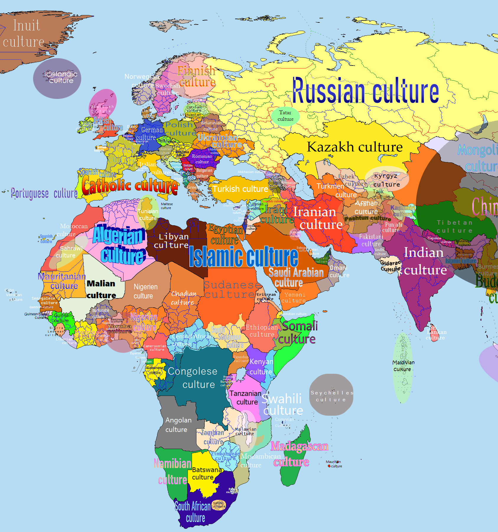
A while back someone on this site was doing a cultural map project. I decided to do my own. Although OTL, I have put the artistic enjoyment and (pleasant routine) of the project above perfect accuracy. Plus there's the excuse that culture is subjective. I am not going to post the america/western hemisphere part as it's not good enough imo.

incomplete link deleted
 
Last edited by a moderator:
Well, guess it's my first time posting anything here. I hope I'm not doing anything wrong.

Anyway, in 1922 the (near-entirely white) electorate of Southern Rhodesia had the opportunity to join South Africa via referendum. If they had, then the new province of South Africa would've been subject to the bantustan system. If going by the later Land Apportionment Act (1930) and the native reserves established by it, by the 1960s this would result in bantustan borders as below. You'll notice that the amount of land given over to bantustans, as well as the chaotic enclave situation, is most closely analogous to Natal, which would have been the only other English-majority, "Anglo"-dominated province of South Africa.
It was then a case of allotting each of the native reserves to one of the dominant black populations in Southern Rhodesia. I couldn't find any good resources for the geographic distribution of Zimbabwe's ethnic groups, but by my reckoning most of the reserves go to the Shona and Matabele peoples.
The Shona here, being unrepresented in S. Africa have a newly-created bantustan, as do the Matabele. Though their South African counterparts were allotted the tiny territory of KwaNdebele the Matabele of S. Rhodesia are somewhat different in much the same way the Xhosa of Ciskei and Transkei are, so have their own (larger) territory. The Tswana, Venda and Tsonga in the south of Rhodesia are absorbed into their corresponding bantustans in Transvaal. Finally, the Tonga gain a new bantustan, made up of the Manjolo and Siabuwa native reserves, which I've called Chizarira as the Chizarira Range passes through the territory, which itself near-encloses Chizarira National Park.

I've excluded South-West Africa (Namibia) because S. Rhodesia is the focus of this map. I based the colour scheme from this map (https://upload.wikimedia.org/wikipe...svg/2000px-Bantustans_in_South_Africa.svg.png).
BantustanMap.png
 
A spectre is haunting Europe, part 2: The Second Great War
The Nazis won the German Civil War, defeating Franz Papen's German Republic in 1937. The country was transformed into the Greater German Reich. Over the next 5 years, Germany rebuilt itself from the destruction caused by the civil war. Hitler wanted more, and began to exercise claims onto surrounding countries, wanting every land historically tied to Germany, including voiding the Treaty of Versailles, annexing German-majority lands in Czechoslovakia and Luxembourg. The Wehrmacht was rebuilt, with an extensive drafting program aimed at 18-45 year-old men and women. Hungary transitioned into a fascist regime led by Miklos Horthy. He signed the Pact of Steel with Germany in 1939, with plans to reclaim areas lost in the Treaty of Trianon in 1920. Meanwhile, Japan continued its invasion of China, its goal was to pacify the country and put it under Japanese suzerainty. Back in Europe, the Soviets were preparing for a war with Germany, so they prepared by fortifying the Ukraine, Byelorussia, and the Baltics. There were two lines set up, one was the Galicia-Minsk-Riga line, and the Dniper-Stalingrad line.

On October 28, 1943, Germany invaded Austria, which had signed secret treaties with Italy, France, and Britain. The three then declared war on Germany, beginning the Second Great War. The next day, Germany and Hungary invaded Czechoslovakia. The Rhineland and the former Austrian South Tirol were the two main flash points of the war early on, with Germany failing to cross the Alpine foothills. Czechoslovakia surrendered on November 19, and was partitioned between Germany and Hungary Then, the Wehrmacht broke through the line at Belluno, starting their blitz to the Adriatic Sea. Italy lets Yugoslavia occupy Istria to protect the city of Trieste from German occupation. Simultaneously, Germany began its invasion of the Low Countries and France, but was stopped dead in its tracks by a very aggressively fortified Maginot Line. They annexed Alsace-Lorraine and Luxembourg, starting its assimilation into the greater German nation. Then, on April 1, 1944, the German invasion of the Soviet Union began. They attacked from East Prussia, Pomerania, and Silesia into Poland and Lithuania. By the end of the spring, in June, Warsaw was taken, and the Hungarian invasion of Yugoslavia and Romania began in early July. By September, Poland and Lithuania became German puppets under collaborationist regimes. The Galicia-Minsk-Riga line was crushed, but came at the cost of heavy casualties, which slowed German advances by almost half. Hungary de facto annexes Transylvania, but Yugoslavia and Romania still held on to some areas. In September 1944, the Sofia Agreement is signed between Yugoslavia, Albania, and Bulgaria, forming the Balkan Federation and reforming the internal divisions on ethno-linguistic lines. Meanwhile, Japan ran south into the heart of China, occupying 14 provinces, some of which under complete control.

The date is now January 1, 1945, and the war has reached its height. Will Germany restore its former glory, albeit under Hitler's totalitarian regime, or will the Allies score 2-0 against Germany?
A Soviet Victory in Warsaw part 2-1945.png
 
Shadowrun world map I made by basing myself off of pretty much a couple YouTube videos, a wiki and 1d4chan because I didn't really like the maps I found online. Some of the info on borders and such is contradicting (the only world map i found that wasnt ant sized had a pan african union but the wiki said its not canon and 1d4chan only mention a big shamanic federation in central africa) so I mostly just went with the info I liked the most, so this is most likely very inaccurate.
shadowrun.png
 
Shadowrun world map I made by basing myself off of pretty much a couple YouTube videos, a wiki and 1d4chan because I didn't really like the maps I found online. Some of the info on borders and such is contradicting (the only world map i found that wasnt ant sized had a pan african union but the wiki said its not canon and 1d4chan only mention a big shamanic federation in central africa) so I mostly just went with the info I liked the most, so this is most likely very inaccurate.
View attachment 559945
This is just incredible.
 
Shadowrun world map I made by basing myself off of pretty much a couple YouTube videos, a wiki and 1d4chan because I didn't really like the maps I found online. Some of the info on borders and such is contradicting (the only world map i found that wasnt ant sized had a pan african union but the wiki said its not canon and 1d4chan only mention a big shamanic federation in central africa) so I mostly just went with the info I liked the most, so this is most likely very inaccurate.
View attachment 559945
A few notes on Germany/Central Europe (most of them are taken from the German shadowrun wiki which is based on official book data):

- Königsberg is not part of the ADL/German Confederation but a corporate state which employs some disneylandesque revivalist rethoric in regards to "baltic culture" and some European noble families.
- Pomorya (Parts of Western Pomerania and a small slice of Polish Pomerania) as well as Berlin are only arguably part of the ADL as well, though they are often counted as part of it.
- A small slice of eastern Bavaria was incorporated into Czechia due to some independence shenanigans which originally comprised border territories of both Bavaria and Bohemia but eventually got annexed in full by the latter
- Most of the German subdivisions are wrong, see here.
- the territorial losses of the Black Flood isn't noted in any of the European countries
- Belgium gets the usual Flanders to Netherlands, Wallonia to France and Brussels independent treatment
- Luxembourg and a bunch of bordering territories are nuclear wasteland due to some Chernobyl on crack thingy happening in Cattenom
- Corsica and Basque are independent
- the Balkans are further balkanized. Some maps also appear to display a north-south divided Romania with a small Szeklerland independent as well (I would guess some form of Vampire shenanigans, or at least wannabe Vampires since I don't know whether or not Vampires exist in Shadowrun rn) but it might be a temporary thing which isn't a thing in 2080 anymore or something that only happens during 2080...


Other than that, this is a neat map. I planned to make one a while ago too but I never got to making it. Maybe because of the previously mentioned contradictory information, who knows
 
On April 14, 1865 which Lincoln, Johnson, and Seward are all killed simultaneously by John Wilkes Booth and his conspirators (as was their plan IOTL). The President Pro-Tempore of the Senate and Radical Republican Benjamin Wade takes over the government, and the South attempts to rise a second time only to be crushed. The second suppression of the South is a lot less patient than Lincoln's version of Reconstruction with citizenship and voting rights permanently stripped from anyone who served in the Confederate military or held any elected or appointed office of the Confederate government. Property is confiscated from any slave-owners who forfeited their citizenship in such a manner and awarded to freed slaves, loyal whites, and northern veterans (there was some corruption involved in this, unfortunately). State borders are redrawn in accordance with State Suicide Theory so as to maximize the number of states with majorities of African-Americans and Southern Unionists.

Radical Reconstrutction.png
 
On April 14, 1865 which Lincoln, Johnson, and Seward are all killed simultaneously by John Wilkes Booth and his conspirators (as was their plan IOTL). The President Pro-Tempore of the Senate and Radical Republican Benjamin Wade takes over the government, and the South attempts to rise a second time only to be crushed. The second suppression of the South is a lot less patient than Lincoln's version of Reconstruction with citizenship and voting rights permanently stripped from anyone who served in the Confederate military or held any elected or appointed office of the Confederate government. Property is confiscated from any slave-owners who forfeited their citizenship in such a manner and awarded to freed slaves, loyal whites, and northern veterans (there was some corruption involved in this, unfortunately). State borders are redrawn in accordance with State Suicide Theory so as to maximize the number of states with majorities of African-Americans and Southern Unionists.

View attachment 559971
Yeeeeeessssss.

Love me some Radical Reconstruction and State Suicide. It's a concept that doesn't get used nearly enough in AH.

Though that Missouri looks about as tall as Shaquille O'Neil.
 
On April 14, 1865 which Lincoln, Johnson, and Seward are all killed simultaneously by John Wilkes Booth and his conspirators (as was their plan IOTL). The President Pro-Tempore of the Senate and Radical Republican Benjamin Wade takes over the government, and the South attempts to rise a second time only to be crushed. The second suppression of the South is a lot less patient than Lincoln's version of Reconstruction with citizenship and voting rights permanently stripped from anyone who served in the Confederate military or held any elected or appointed office of the Confederate government. Property is confiscated from any slave-owners who forfeited their citizenship in such a manner and awarded to freed slaves, loyal whites, and northern veterans (there was some corruption involved in this, unfortunately). State borders are redrawn in accordance with State Suicide Theory so as to maximize the number of states with majorities of African-Americans and Southern Unionists.

View attachment 559971

Two things I really love is West Virginia straight up taking Virginia's name and Louisiana being the only seceding state that kept its name.
 
Last edited:
On April 14, 1865 which Lincoln, Johnson, and Seward are all killed simultaneously by John Wilkes Booth and his conspirators (as was their plan IOTL). The President Pro-Tempore of the Senate and Radical Republican Benjamin Wade takes over the government, and the South attempts to rise a second time only to be crushed. The second suppression of the South is a lot less patient than Lincoln's version of Reconstruction with citizenship and voting rights permanently stripped from anyone who served in the Confederate military or held any elected or appointed office of the Confederate government. Property is confiscated from any slave-owners who forfeited their citizenship in such a manner and awarded to freed slaves, loyal whites, and northern veterans (there was some corruption involved in this, unfortunately). State borders are redrawn in accordance with State Suicide Theory so as to maximize the number of states with majorities of African-Americans and Southern Unionists.

View attachment 559971
Interesting...
Not 100% saying I'm absolutely going to do it (I have a lot on my plate as is), but would I be ok to steal the concept? Would be interesting to see the butterflies.
 
Yeeeeeessssss.

Love me some Radical Reconstruction and State Suicide. It's a concept that doesn't get used nearly enough in AH.

Though that Missouri looks about as tall as Shaquille O'Neil.

Thank you. :) If you like that Missouri you should check out that Mississippi!

I can't claim total credit for the idea alas, it was @TheByzantineOttoman who came up with the original premise.

Two things I really love is West Virginia straight up taking Virginia's name and Louisiana being the only seceding state that kept its name.

:biggrin:

Yeah I couldn't figure out what to call West Virginia, so I eventually gave up and just let it go with "Virginia". Louisiana rejoined the Union relatively early in the war in 1862, so it had already decided to stick with its name.

Interesting...
Not 100% saying I'm absolutely going to do it (I have a lot on my plate as is), but would I be ok to steal the concept? Would be interesting to see the butterflies.

Vaya con dios young man.:)
 
Man of the high Gulag map 2.png

A crappy map of my man in the high castle spin-off ish type map. It's pretty much how most MTHC map looks like with a big superpower state
 
Top
Status
Not open for further replies.
Top