Just Fooling around, can't confirm accuracy but in order top to bottom left to right
1: poland 1939 with split line
2: poland after split
3: just random patches
4: you know it
5: 1444 poland
why not make it yourself?When will we have a 1942 Europe 8K? I hate begging but I really need it right now.
I'm not experienced in map making at all.why not make it yourself?
Just literally draw borders and provinces until it's done? I only use MS Paint, I have zero knowledge of Photoshop or Paint.net.Give it a try . It's the best way to learn.
Yep. That's where all of these basemaps come from.Just literally draw borders and provinces until it's done? I only use MS Paint, I have zero knowledge of Photoshop or Paint.net.
Some of the best artists on this site use MS Paint.Just literally draw borders and provinces until it's done? I only use MS Paint, I have zero knowledge of Photoshop or Paint.net.
Photoshop may be complicated but Paint.net is MS Paint with a slightly different aesthetic and a couple more features.Just literally draw borders and provinces until it's done? I only use MS Paint, I have zero knowledge of Photoshop or Paint.net.
 drive.google.com
Thank you so much8K-BAM Climate Map, not the best as it had to be zoomed in roughly 2 to 3 times, but it's a heck of a lot better than I thought it would be.
8K BAM Climate.png
is there one without borders8K-BAM Climate Map, not the best as it had to be zoomed in roughly 2 to 3 times, but it's a heck of a lot better than I thought it would be.
8K BAM Climate.png
As far as I know, the administrative borders back then were similar to the present second-level ones, except for those that were divided between Srpska and BiH proper.Does anyone know if there is a pre-Bosnian War patch for Bosnia Herzegovina? I'm making a map with a Lesser Yugoslavia on it and the post-war Bosnian administrative borders don't really fit.
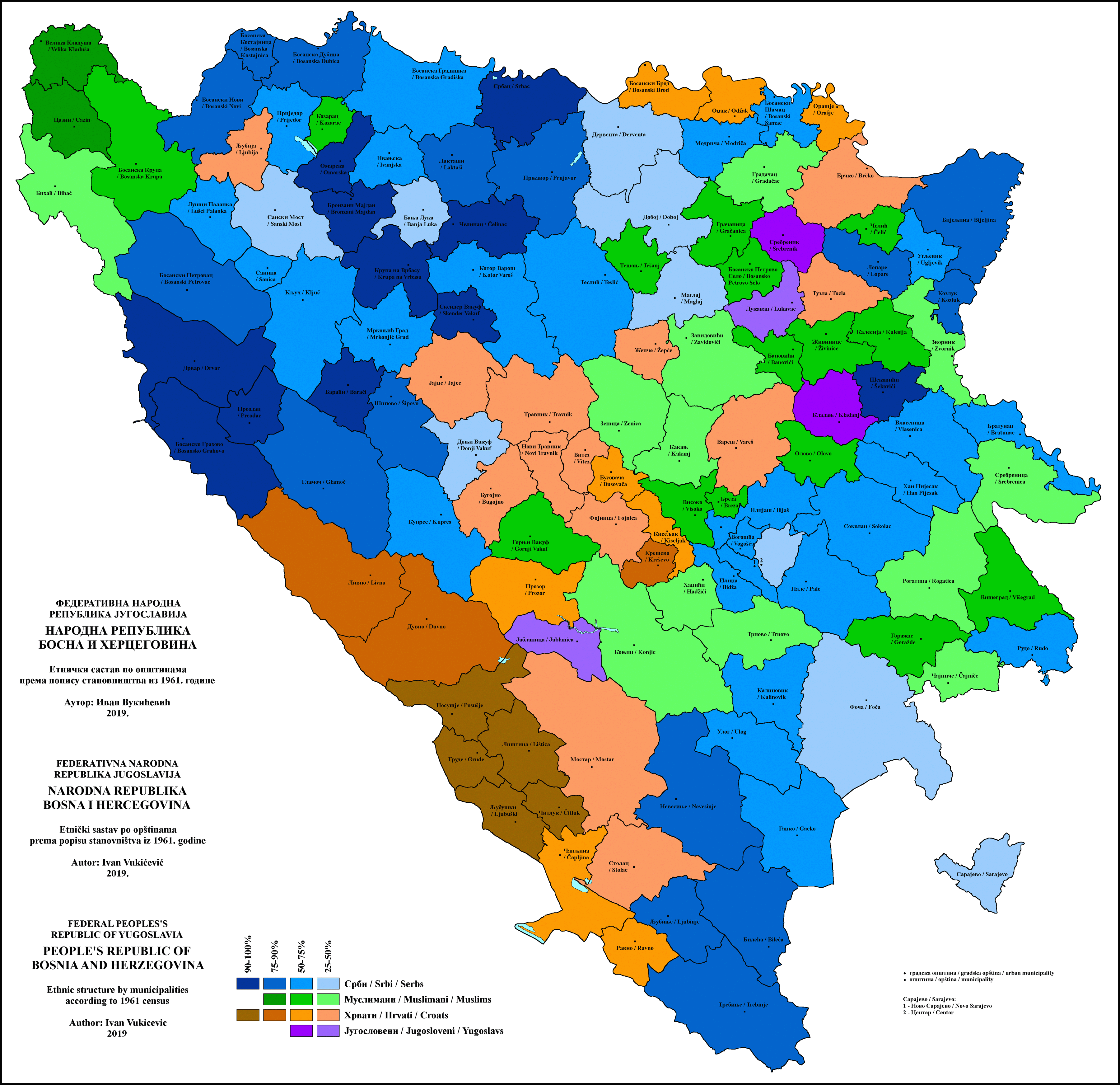
After comparing the two map, I can say you were right. It's the Srpska/BiH border that makes you think otherwise because it catches your attention first, due to it being darker.As far as I know, the administrative borders back then were similar to the present second-level ones, except for those that were divided between Srpska and BiH proper.