Return of Horrible Educational Maps

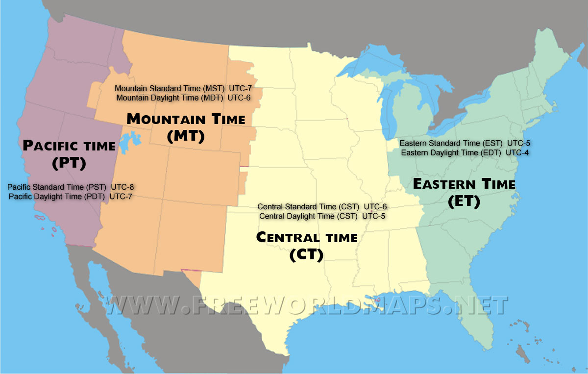
The Great Salt Lake looking a bit bigger than normal...
us-time-zones.jpg
 
OH. I did not notice Alsace-Lorraine and Sud-Tirol.

Now worries about that. We got quite a number of pre-WWI maps in this thread where the map maker forgot about them as well :coldsweat:

Now for some Italian textbook material. Given the rather crisp borders on the Iberian peninsula they used a modern map (also something that many maps in this thread have done) and then drew the post-napoleonic borders by freehand (and again, this too has happened on more than enough maps here)

baditalyyy.jpg
 
Now worries about that. We got quite a number of pre-WWI maps in this thread where the map maker forgot about them as well :coldsweat:

Now for some Italian textbook material. Given the rather crisp borders on the Iberian peninsula they used a modern map (also something that many maps in this thread have done) and then drew the post-napoleonic borders by freehand (and again, this too has happened on more than enough maps here)

View attachment 463799
That's Portuguese, not Italian, both being derived from Latin is not the same as being the same language
 
I mean, I know its just meant to show countries with a coastline (and even then it isn't perfect - notice the omission of the DRC that does have an (admittedly small) coast), but they could at least show borders between landlocked states for clarity. Otherwise it just looks like a load of random space-filling empires have been created from nowhere. Not the worst map on the thread, but definitely bad.
Well, at least the solved the Western Sahara dispute!

While I know Bosnia does have a coastline, I am surprised they were not in the very lightest of yellows. Then again, the map is about plastic waste that is available. Perhaps this assumes Sarajevo trucks everything to the Dalmatian.
Makes you wonder why they colored North Macedonia. Perhap they assume they have access the South Macedonian (the Greek administrative region Macedonia) coastline?
 
Even if this is meant to be a globe and as such the curvature has to be taken into account there are still things not adding up (like the total lack of Africa south of Somalia and eastern Asia in general)

Fool *insert organization here* just wants you to think those places are real
 
Top