You are using an out of date browser. It may not display this or other websites correctly.
You should upgrade or use an alternative browser.
You should upgrade or use an alternative browser.
Collaborative Realistic Worldbuilding, Part ?
- Thread starter Lothal
- Start date
...On it.Here is it, @InfernoMole! Also, I reclaim.
Last edited:
Introducing the Beast's Hand and the Stump. @Fox-Fire
That looks cool!
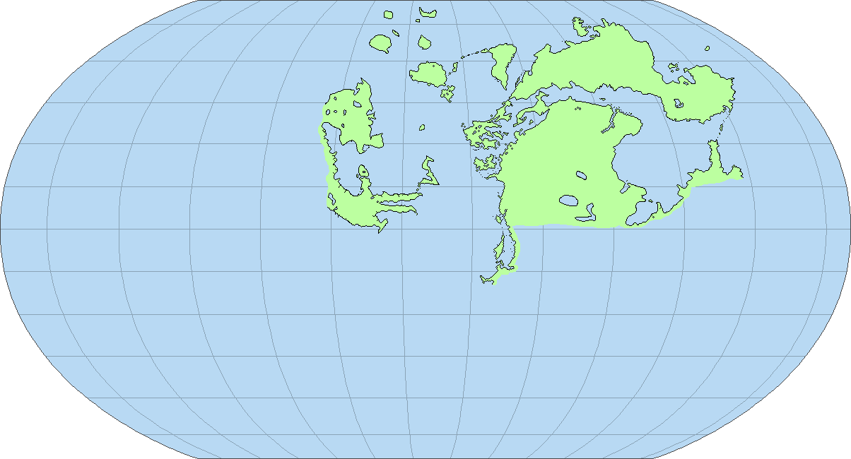
I’m sorry to say this but I feel we are putting too much detail into the map without having things such as tectonics or climate. We have too many lakes and likely most of them will be erased when we review the map by these criteria.
Also these continents don’t look natural in half of the map. We are making them jagged just for it sake... And in the other half they are wrongly drawn, either with incorrect tools on paint, or without respecting the one pixel thickness.
Also these continents don’t look natural in half of the map. We are making them jagged just for it sake... And in the other half they are wrongly drawn, either with incorrect tools on paint, or without respecting the one pixel thickness.
I’m sorry to say this but I feel we are putting too much detail into the map without having things such as tectonics or climate. We have too many lakes and likely most of them will be erased when we review the map by these criteria.
Also these continents don’t look natural in half of the map. We are making them jagged just for it sake... And in the other half they are wrongly drawn, either with incorrect tools on paint, or without respecting the one pixel thickness.
Okay, what you would like to change in particular?
To be honest, I too would like to get rid of certain lakes.
So draw the plates first? I personally prefer this wayTo be honest, I would return to the original method that the other worldbuilding projects used.
So draw the plates first? I personally prefer this way
No, draw the general shapes first, then the plates, then the particular, more precise shapes. As it stands, I deeply dislike how the map is shaping up to be and worse, as we put in tectonics, likely half (I’m not exaggerating) of it will have to be remade.
Ah - I see, so we finish the Map in rough detail and then we move on to plates which means that the finer details are pricises? If so not a bad idea, but it might take some time to get on to the more history - esque bits.No, draw the general shapes first, then the plates, then the particular, more precise shapes. As it stands, I deeply dislike how the map is shaping up to be and worse, as we put in tectonics, likely half (I’m not exaggerating) of it will have to be remade.
I agree with @Fox-Fire on this, I say we start with tectonics and move forward. We will still be able to make interesting land formations once we have settled on the realistic tectonic plates and it will be easier to decide on elevation, climate etc.Tectonics, rotation speed, axial tilt, elevation, climate bands, climate, wind and ocean currents, rivers and other hidrological features, biomes... And that’s just from the top of my head. We were never close to starting with human history.
Well then I suppose it would make it more accurate. Hense I personally would not mind.Tectonics, rotation speed, axial tilt, elevation, climate bands, climate, wind and ocean currents, rivers and other hidrological features, biomes... And that’s just from the top of my head. We were never close to starting with human history.
Share: