You are using an out of date browser. It may not display this or other websites correctly.
You should upgrade or use an alternative browser.
You should upgrade or use an alternative browser.
The Q-BAM Improvement and Core Thread
- Thread starter iori
- Start date
Well they should be placed over where they were beforehey these are some pretty neat updates, but can i ask if you'd be able to zoom out a bit to help with knowing where to place the falklands, shetland and faroe islands?
i probably should've clarified that i meant zooming out (such as seeing part of patagonia near the falklands to find out where it goes exactly)Well they should be placed over where they were before
Oh. I see what you mean. I was redoing the coast of Chile that has all those nasty lookin black clusters of islands and coasts. I’ll do it in a couple hoursi probably should've clarified that i meant zooming out (such as seeing part of patagonia near the falklands to find out where it goes exactly)
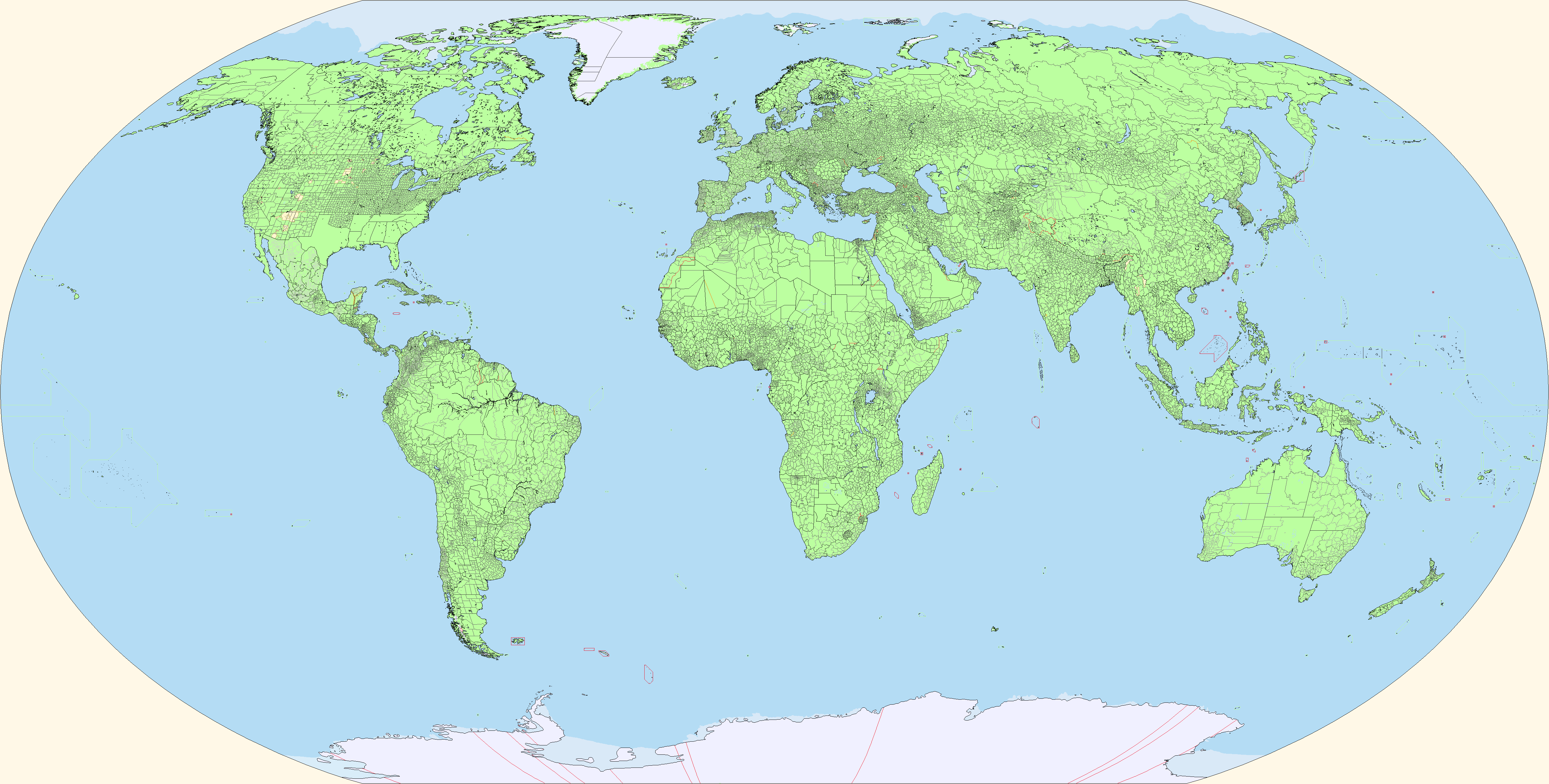
Fixed (I hope, Indonesia was kind of too general)All the new patches are great but I want to point out that some areas in Indonesia, the Falklands, Sweden and Belize use the wrong coastline colour.
Fixed (I hope, Indonesia was kind of too general)
I rechecked a few (since I was the one who patched it) and the only remaining ones I could find were in Sumatra and Timor. This should be good now
Small patch for Myanmar, the self-administered zones are not the second levels but don't seem to share a status as first or third levels, so I made them be the same colors as reservations and changed the formerly third levels to second. Patched the coast as well and started some third levels for Yunnan, and made a border patch for the South-Tibet dispute
Pitcairn Islands patch. The relative sizes of Pitcairn and Henderson were off. Ducie is also de jure claimed by the United States, as per the Guano Islands Act, although this has been considered dormant since America has never established a physical presence on the island to maintain its claim.

Patched everything having to do with Xinjiang and Xizang (East Turkestan and Tibet):
-Fixed the border from Mongolia to Myanmar
-Fixed the first and second levels of both
-added third levels for both
-added lakes in the Himalayas and patched some lakes in Xinjiang
-patched the border disputes between China and India
X3? Did @Ashtagon revise their scheme?
It's pretty much the same as the X2, but contains colors for climatic and biome data. I came across it in the color algorithm files that @Ashtagon shared with me because she got tired of me asking if such-and-such a color could be used for Bougainville, finally telling me to look for it myself. I've been told that the X3 is "experimental," and that it likely would not be developed any further.
EDIT: With regards to the map, I did cheat a tiny bit. I dropped down the national borders colors from the X2/X3 RGB 4-4-4 to the "special national borders" color of 17-17-17. This is to better help distinguish it from the coastline (0-0-0) and map edge (1-1-1). Trying to make life easy for editing, since that's kind of what is done on this thread.
Last edited:
Curiously enough, the Deep South counties are not yet done
It's just called the South, or Southern United States. Deep South refers to the five states that border the Gulf of Mexico. I should know, I'm from Mississippi and I now live in North Carolina.
The CS abolished the county system in 1884 and replaced it with an unitary system for each state, what reality do you think you live in, huh?Curiously enough, the Deep South counties are not yet done
ST15RM will get them done. Don’t worryCuriously enough, the Deep South counties are not yet done
Share: