You are using an out of date browser. It may not display this or other websites correctly.
You should upgrade or use an alternative browser.
You should upgrade or use an alternative browser.
OTL Map Thread Mk IV., 2014-
- Thread starter Pragmatic Progressive
- Start date
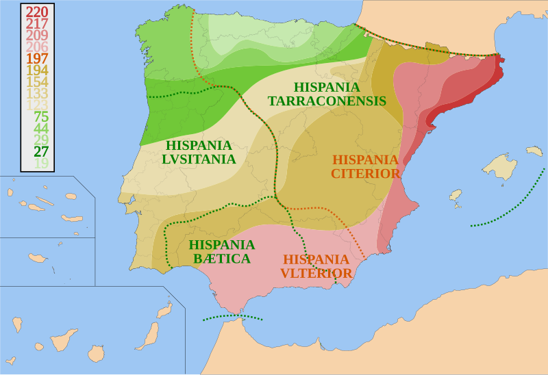
That's the campaign of Aelius Gallus. It was a total failure, so I wasn't going to include it, but he did capture some towns on the way and so it falls under a broad definition of "temporary conquest." When I made the key bigger and found that it extended the map exactly that far to the south, I decided that I may as well include that expedition.
I'm continuing to tweak the map. It's difficult sometimes to say when exactly an area was Romanized. In almost every territory that Rome conquered, it spent time as a client state before being completely annexed. Clientage meant very different levels of independence depending on the time and place, so it's a judgment call when to call a place "Roman". In general the map shows annexation, but that seems misleading in some cases.
Here's a somewhat fine-tuned map. I'm still not completely happy using annexation as the main criterion, but I don't know of any better way to show it that's anything but "when False Dmitri feels like considering it Roman." The one exception is Crimea, which was not annexed until the 6th century. The date indicates the arrival of a permanent Roman garrison. This may be a better criterion to use, but it's difficult to find that information in all cases.
View attachment 397547
Some materials for you.
I saw that map but it didn't seem to be borne out by any other sources. Can anyone speak to its accuracy?Some materials for you.
oh shit it's that time of year again
August 2018

Previous Versions
January 2018
April 2018
Changes from April 2018
AMERICA
- Dutch Caribbean now more accurate
- Autonomous City of Buenos Aires and Mar Chiquita added
EUROPE
- Added Rockall
- French territories now correct colour
AFRICA
- Updated Libyan civil war
- Added Sudanese states
- Somaliland now shown as independent
- South Sudanese civil war removed due to lack of accurate and updated information
- Somalian claim on Ogaden removed
ASIA-PACIFIC
- Taiwanese claims now shown
- Changed colour of Myanmar
- Added outline around Bougainville
- Updated wars in Iraq, Syria, Yemen, and Afghanistan
- Syrian claim on Hatay now shown
ANTARCTICA
- Norwegian and Argentinian claims now have correct colours
August 2018
Previous Versions
January 2018
April 2018
Changes from April 2018
AMERICA
- Dutch Caribbean now more accurate
- Autonomous City of Buenos Aires and Mar Chiquita added
EUROPE
- Added Rockall
- French territories now correct colour
AFRICA
- Updated Libyan civil war
- Added Sudanese states
- Somaliland now shown as independent
- South Sudanese civil war removed due to lack of accurate and updated information
- Somalian claim on Ogaden removed
ASIA-PACIFIC
- Taiwanese claims now shown
- Changed colour of Myanmar
- Added outline around Bougainville
- Updated wars in Iraq, Syria, Yemen, and Afghanistan
- Syrian claim on Hatay now shown
ANTARCTICA
- Norwegian and Argentinian claims now have correct colours
Last edited:
oh shit it's that time of year again
August 2018
View attachment 401034
Previous Versions
January 2018
April 2018
Changes from April 2018
AMERICA
- Dutch Caribbean now more accurate
EUROPE
- Added Rockall
- French territories now correct colour
AFRICA
- Updated Libyan civil war
- Added Sudanese states
- Somaliland now shown as independent
ASIA-PACIFIC
- Taiwanese claims now shown
- Changed colour of Myanmar
- Added outline around Bougainville
- Updated war in Iraq and Syria
- Syrian claim on Hatay now shown
ANTARCTICA
- Norwegian and Argentinian claims now have correct colours
Excellent work, but Argentina lacks the Autonomous City of Buenos Aires and Mar Chiquita Lake:
Also, does Somalia officially claims the Ogaden?
Thanks for the help! <3 (it turns out that somalia does not in fact claim ogaden)Excellent work, but Argentina lacks the Autonomous City of Buenos Aires and Mar Chiquita Lake:
Also, does Somalia officially claims the Ogaden?
anyway here's what the netherlands is called in various different languages

(not all variants are accounted for. i just used the one in the title of the wikipedia page)
(not all variants are accounted for. i just used the one in the title of the wikipedia page)
Yeah in Spanish in common parlance we usually use "Holanda" rather than "Países Bajos". Much like "Inglaterra" instead of "Reino Unido".
Yeah in Spanish in common parlance we usually use "Holanda" rather than "Países Bajos". Much like "Inglaterra" instead of "Reino Unido".
Yep, and here in South Germany I have so far not really heard anyone saying Niderland (and what's with swallowing the e?), and indeed, Holland is here also much more common in informal speech.
like the text at the bottom says i just used the titles of the respective languages' wikipedia pages (Países Bajos, Niderland) ¯\_(ツ)_/¯
So an analysis of this data suggest that if as a Roman emperor you want a better chance for a natural death, you better leave Rome and don't go East. Makes sense.
Hmmm. Given how other areas are show with differing borders and colors to differentiate autonomous areas from the main portion of a country, mightnt Nunavut be deserving of its own color? And are you Justin halfway through with Indonesia, or do each of the areas there have special arrangements?oh shit it's that time of year again
What's special about Nunavut? Afaik it's just a territory.Nunavut
damein fisher
Banned
What's special about Nunavut? Afaik it's just a territory.
It is, it's not even a special territory, I have no idea what he's talking about.
*Edit* - Or rather, the differences between it and the other territories are so minor as not to warrant a different color by the terms of most AH color codes
Inuit/First Nations territory. Since the maps are showing the special zones on the Mosquito Coast, Using an outline coloring rather than a darker color, I assume that there might be differences in Canada, as Yukon and the NorthWest Territories are basically vacant, while Nunavut under the Nunavut Land Claims Agreement of 1993 seemsmlike a giant reservation of sorts. Though perhaps it would be best there comoared to the arrangement natives have in Alaska.It is, it's not even a special territory, I have no idea what he's talking about.
*Edit* - Or rather, the differences between it and the other territories are so minor as not to warrant a different color by the terms of most AH color codes
damein fisher
Banned
Inuit/First Nations territory. Since the maps are showing the special zones on the Mosquito Coast, Using an outline coloring rather than a darker color, I assume that there might be differences in Canada, as Yukon and the NorthWest Territories are basically vacant, while Nunavut under the Nunavut Land Claims Agreement of 1993 seemsmlike a giant reservation of sorts. Though perhaps it would be best there comoared to the arrangement natives have in Alaska.
Nunavut isn't really a giant reservation, though I can understand the confusion. It's just a normal territory with minor special rights for local first nations, but the territory is no more autonomous than Yukon or the Northwest Territories, so it doesn't deserves its own color.
Nunavut isn't really a giant reservation, though I can understand the confusion. It's just a normal territory with minor special rights for local first nations, but the territory is no more autonomous than Yukon or the Northwest Territories, so it doesn't deserves its own color.
He was referring to the Land Claims Agreement of 1993, which was before Nunavut became a territory in 1999. I'm not quite certain, but between 1993 and 1999, wasn't Nunavut actually a giant reservation?
damein fisher
Banned
He was referring to the Land Claims Agreement of 1993, which was before Nunavut became a territory in 1999. I'm not quite certain, but between 1993 and 1999, wasn't Nunavut actually a giant reservation?
I think so, yeah. I haven't done too much research into pre 1999 Nunavut, does Worlda mark reservations? If so, then yeah, between 1993 and 1999 Nunavut should be marked as such.
Reservations usually aren't shown, so I don't see why it should be separate from the NWT until 1999I think so, yeah. I haven't done too much research into pre 1999 Nunavut, does Worlda mark reservations? If so, then yeah, between 1993 and 1999 Nunavut should be marked as such.
Share: