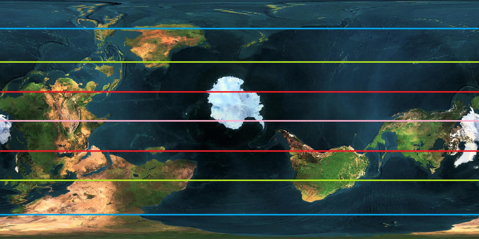
...Wait, how did you come up with that formula? I'm a little confused because someone else did an interpretation of my map where I'm in the mid-40's whereas according to your calculation, I'm at 33 degrees north. (BTW, the green line is supposed to represent 45 degrees north.)
When given the choice between math and "eyeballing it," I go with math because it's more reliable.
111 kilometers is the approximate distance of 1 degree of latitude on Earth's surface. It varies very little, between 110.6 km at the equator and 111.7 km at the poles. Lines of latitude are perfect circles on a sphere, with the center being on the poles.
Still assuming you live in Manila. If your north pole is at 12.6N, 8W (Bamako, Mali), then the distance between those points would be 13651 km, which divides to 123° almost exactly. 90°-123°=-33°, or 33S. So yes, you'd be 33 degrees from the equator.
You can do a check of the formula by looking at antipodal points.
Taipei, Taiwan, and Asunción, Paraguay, are very close to each other's antipodes, meaning they are nearly exactly on the opposite side of the world from each other. Let's say we want Taipei to be the north pole, 90°N. This means that its antipode, Asunción, should be very close to the south pole, which is 90°S. We put it into the map, which tells us the distance is 19947 kilometers (default is miles; remember to select kilometers!). 19947/111=179.7. 90-179.7=-89.3, which is close to -90. The formula checks out.