Hipster Stalin
Banned
Nope, sorry, it is old. This is before 2013.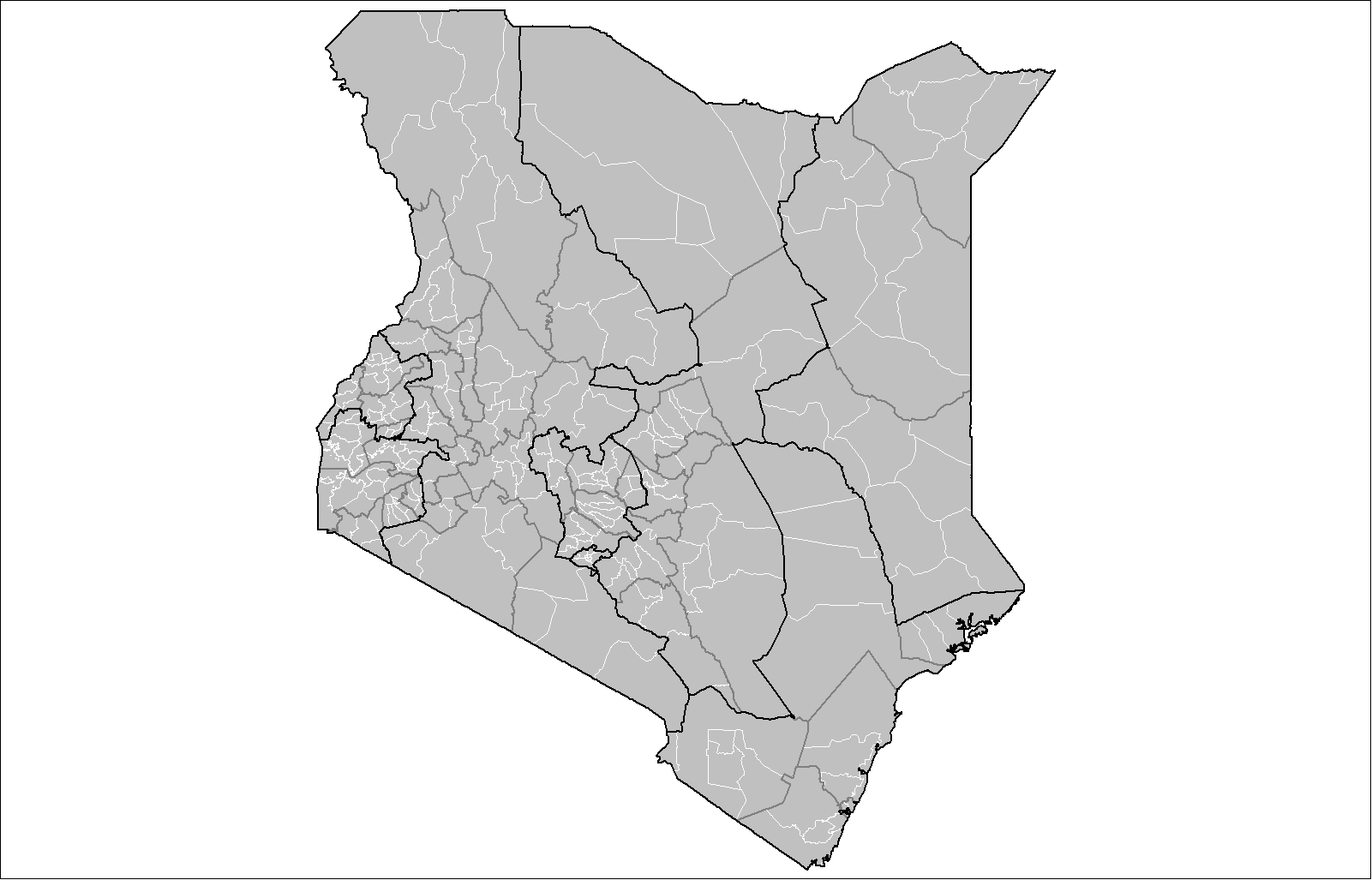
Found one for Kenya! Though i don't know if it's accurate.
Nope, sorry, it is old. This is before 2013.
Found one for Kenya! Though i don't know if it's accurate.
You can check it on previous pagesI can try.
What countries are finished, but need secondary levels?
good start!View attachment 323353
Ok. Soo... I decided to challenge myself by trying to do Norway's municipalities
I did Vestfold and Akershus here on this patch.
Why is Chechen-Ingushetian border in red?Volga region and Full Caucasus
Are you also gonna do the rest of Ukraine?Progress in central Russia
View attachment 323461
I found this map of Lesotho's 2015 constituencies if it helps in any way.
But Lesotho's 2nd levels are those constituences, so Lesotho may not be the case of what you're talking about (you're right about other smaller countries though)Is the MBAM supposed to be an electoral divisions map or an administrative divisions map? I've asked this before in the context of constituencies being incorrectly used as administrative divisions in some small countries, where they simply don't have any real administrative divisions below a particular level. If constituencies continue to be used to make "2nd level administrative divisions" where none exist, then the MBAM might as well be turned into an electoral map (in which case the counties of the US would have to be done away with and replaced with the various constituencies).
India is done!
There's another link

