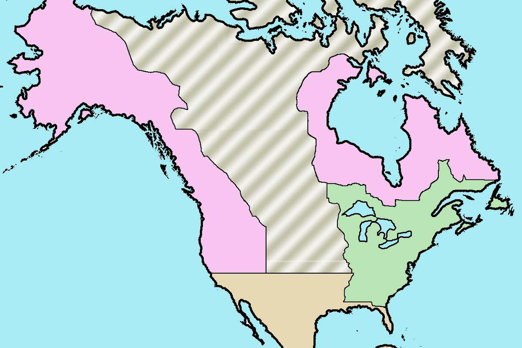
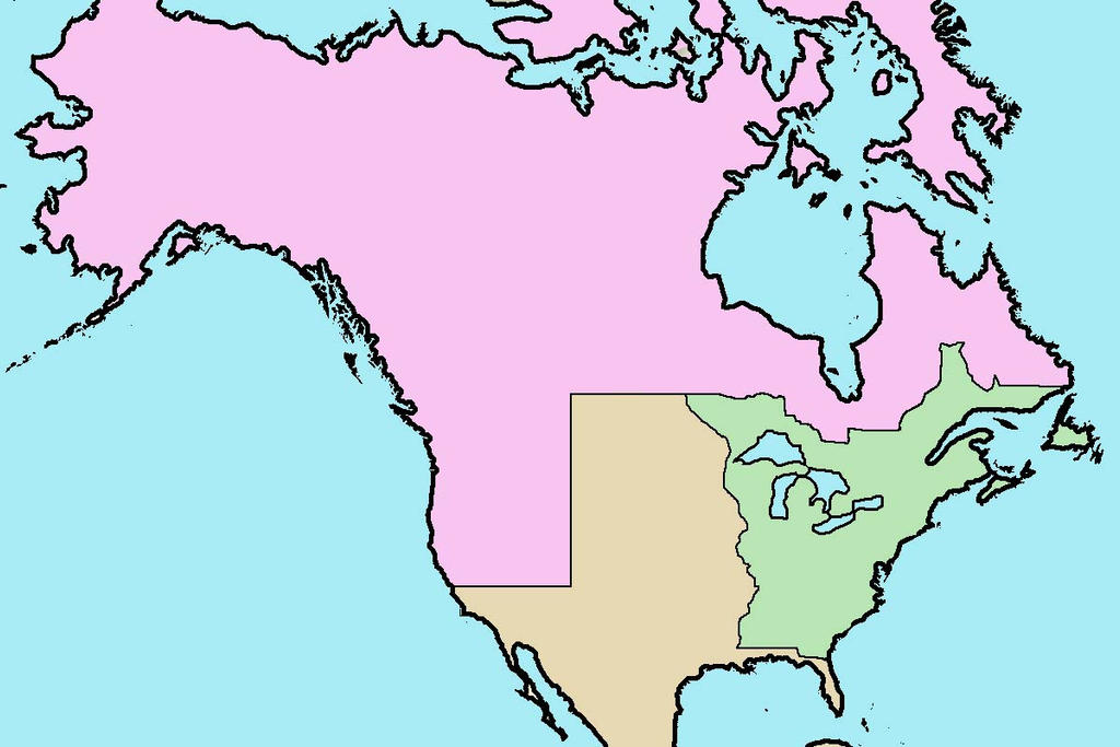
Actually, this would be close enough if you just draw a straight line across from the border between America and the British (Rupert's land) north of the Great Lakes; straight west to the New Albion border (pink area in the West), roughly OTL Canada /USA border.
Then turn the south part brown to show it's Spanish (part of Mexico/ New Spain). That's just the big rectangle in the middle.
Sorry for not explaining clearly.
Last edited:

")