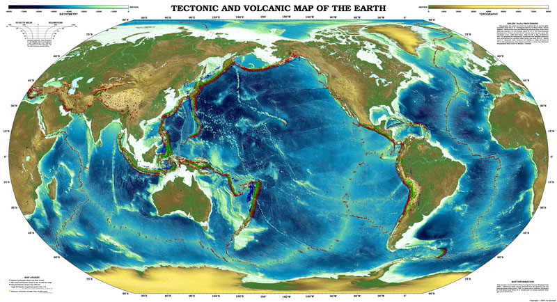
You're just used to Asia, the Pacific and the Americas being distorted.Good God, Europe looks awful.
You are using an out of date browser. It may not display this or other websites correctly.
You should upgrade or use an alternative browser.
You should upgrade or use an alternative browser.
OTL Map Thread Mk IV., 2014-
- Thread starter Pragmatic Progressive
- Start date
Alex Richards
Donor
You're just used to Asia, the Pacific and the Americas being distorted.
I have a feeling that the distortion is actually somewhat worse in this respect than if we'd made the map from scratch rather than essentially 'pushing' the two halves of the map together. We didn't actually split the map directly down its midpoint for example (it's slightly off to the side so that all of Europe/Africa is on one side).
An actual pacific centred map would be more like this:

Upvoteanthology
Donor
What we're used to seeing is the Pacific Ocean as distorted, not so much Asia or the Americans. Having a hemisphere-sized ocean as the centerpiece of a map about land doesn't make much sense, and our brains don't exactly process distorted water on a map differently from regular water.You're just used to Asia, the Pacific and the Americas being distorted.
I've actually spent the last few months on and off trying to complete a QBAM 1908 map. Its only half done, I could still post it if you want, but its covered with loads of little errors.
Chicxulub
Banned
It just so happens that I do, minus Pennsylvania. This is a compilation of two different maps made by @VT45, who left on a permanent fishing trip in May 2014.So I got a question: Does any of you have a map of all the townships of the Northeastern U.S., plus the Canadian Maritimes?
I really want to make something out of it.
It's interesting that you mention him, because I've been helping him with the Commonwealth-Wank universe on DeviantArt.It just so happens that I do, minus Pennsylvania. This is a compilation of two different maps made by @VT45, who left on a permanent fishing trip in May 2014.
Here is a lovely map of the British Isles' counties before the Counties (Detached Parts) Act 1844 did a lot of exclave-exchanging. I'm especially fond of Durham and Cromartyshire.
It's the tiny bits that fascinate me - look at the southern exclave of Derbyshire around Ashby, or the random bits of Staffordshire inside the even more random bit of Shropshire in the middle of the Black Country.
Alex Richards
Donor
It's the tiny bits that fascinate me - look at the southern exclave of Derbyshire around Ashby, or the random bits of Staffordshire inside the even more random bit of Shropshire in the middle of the Black Country.
Have you zoomed in on the utter madness that's Donisthorpe (part of Church Gresley Parish no less) yet?
Oh and fun fact, I literally drive across that little exclave to get to work (the site itself is in the Leicestershire Corridor).
Have you zoomed in on the utter madness that's Donisthorpe (part of Church Gresley Parish no less) yet?
Oh and fun fact, I literally drive across that little exclave to get to work (the site itself is in the Leicestershire Corridor).
That's the part I was referring to, yes.
Alex Richards
Donor
That's the part I was referring to, yes.
I still have no idea why it's like that.
Artaxerxes
Banned
Is anyone aware of a decent high res map of Europe and specifically Britain in the bronze age up to Anglo Saxon period
I'd very much like a look at the Glastonbury landscape as it's meant to be very coastal but trying to find versions that aren't covered in ley lines and mumbo jumbo is bloody hard.
I'd very much like a look at the Glastonbury landscape as it's meant to be very coastal but trying to find versions that aren't covered in ley lines and mumbo jumbo is bloody hard.
I worked on and finished a 1 metre one!Anyone have a map of a relatively minor sea level rise? Say only 7 metres or so enough to devastate the world but not enough to obliterate Florida or give Bolivia a coastline.
...Yeah it's not much.
I worked on and finished a 1 metre one!
...Yeah it's not much.
Link?
Share: