A Blank Map Thread

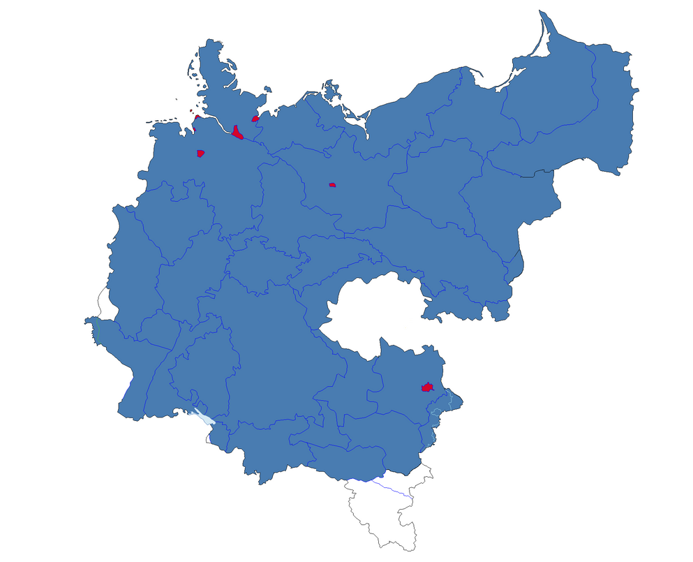
Hey, does anyone here have a blank map that has a 65m sea level rise? I can only find a 100m rise one, which is impossible. I'm trying to make a future scenario, this is what I have so far, but I want to remake it on a lower sea level rise map:

9OQ3PBX.png


Something similar to that would be awesome.


EDIT: Instead of just asking for something I'll give something back as well. Here is another unceratin sea rise map I made before I found the blank of the above:

LnGbHFG.png
 

Jcw3

Banned
Does anyone have a realistic sea level rise map with modern borders? Like, bits and pieces of Florida and the Netherlands are missing, but not, like, a giant hole in China or Brazil?

EDIT: With OTL borders?

EDIT: I'm looking for a map sort of like this.

tl_440_this_is_planet__earth_by_zauberfloete_by_zauberfloete21-d7bcmd1.png
 
Last edited:

Jcw3

Banned
@Jcw3 - I could take that map you linked and impose OTL borders on it and clean it all up. Would that work?

Yes, but only if that's not going to take you a long time. If it is, as thanks, I can only guarantee you that I'll have a finished map of the setting of In Time.
 

JJohnson

Banned
an_alternate_germany_by_jjohnson1701-daj4n4m.png

A slightly alternate Germany in PNG for folks to use for their timelines. I don't think my Styria border is that accurate, but I had to eyeball it. Many thanks to Ares96 and Blomma for their work on this. I just added Briey, Belfort, and redid Silesia a bit to help put in New Silesia, and Posen and South Prussia as separated states. If anyone's got more accurate borders, especially on Burgenland, Alsace-Lorraine, the post-WW1 border for Schleswig-Holstein, modern Berlin, and Styria for the German population after WW1, feel free to edit this.
 
Preview of a blank map I'm working on (bonus points if you guess what it is):

iLCV9EL.jpg


I think I'll make this a series because I can't find any blank maps of these. They're probably somewhere and I'm wasting time but I'll make my own ones anyway.
 
Hey, I'm working on my seventh edition of the Colored World Map series (still), and I've hit a stump. I know Norway claims Peter I Island in Antarctica, but do they also claim an exclusive economic zone around the island, like they do with Queen Maud Land? I have found no evidence thus far in my limited search that supports that they do have maritime claims around the island, but it just seems odd for Norway not to have any such sea claims around Peter I.
 
Also, I plan on my map showing intergovernmental organizations, specifically the major military alliances. My list includes the Arab League, NATO, CIS, EU, SCO, ASEAN, and the African Union. Are there any others that I should show?
 
Also, I plan on my map showing intergovernmental organizations, specifically the major military alliances. My list includes the Arab League, NATO, CIS, EU, SCO, ASEAN, and the African Union. Are there any others that I should show?
Perhaps CONASUR?

Yes, but only if that's not going to take you a long time. If it is, as thanks, I can only guarantee you that I'll have a finished map of the setting of In Time.

Good luck with the In Time map, by the way. That movie's premise was intriguing.
 
Top